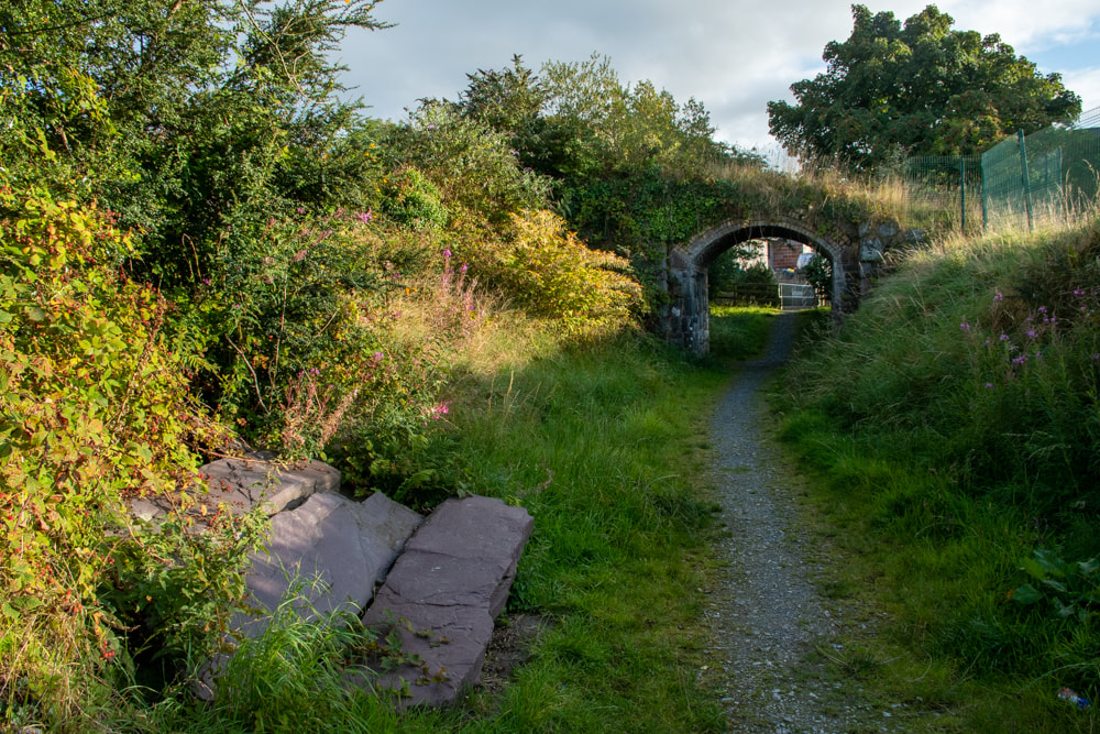
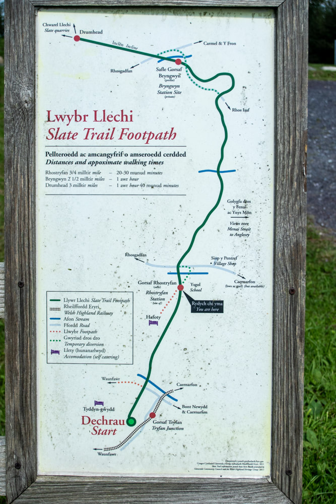
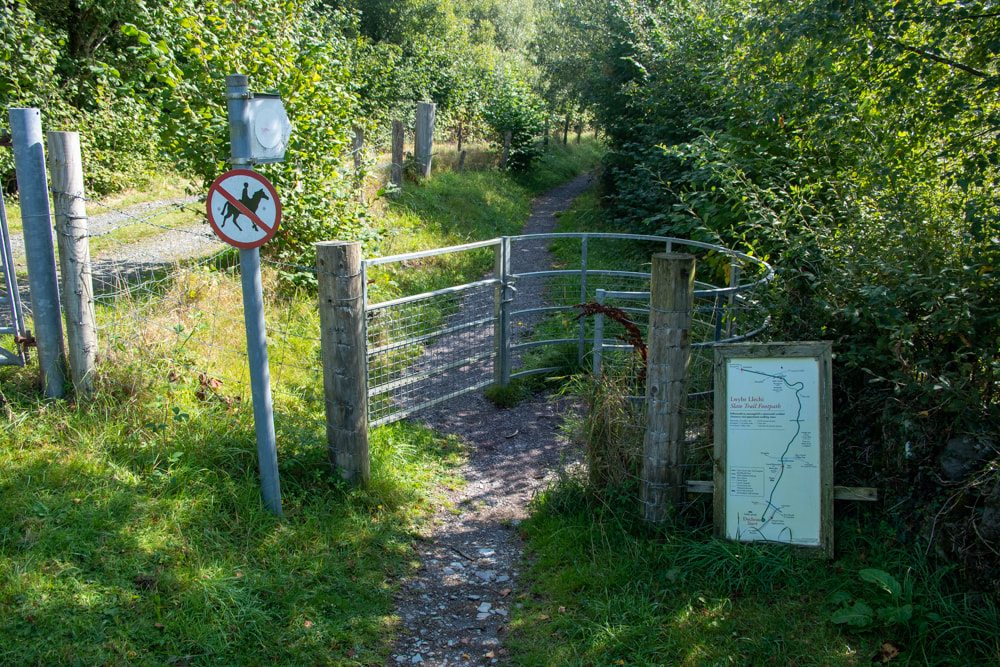
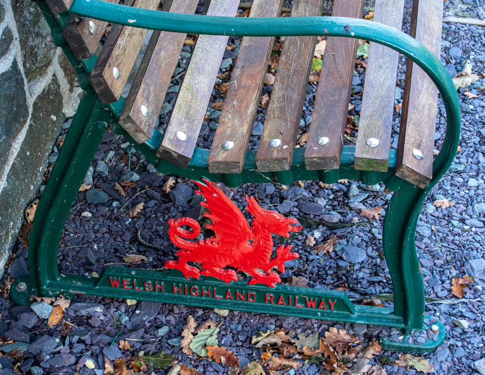
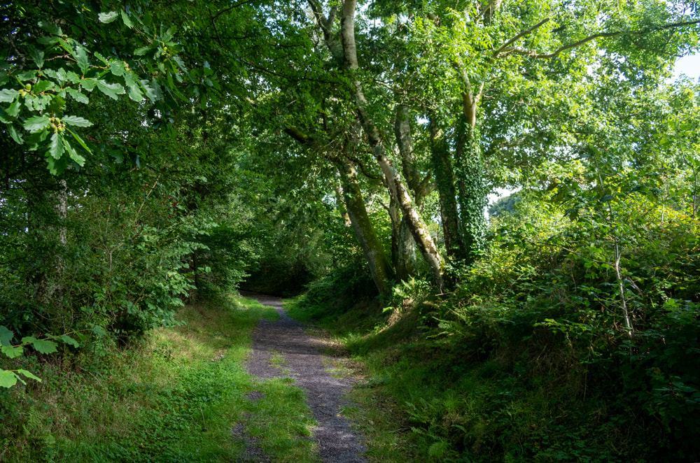
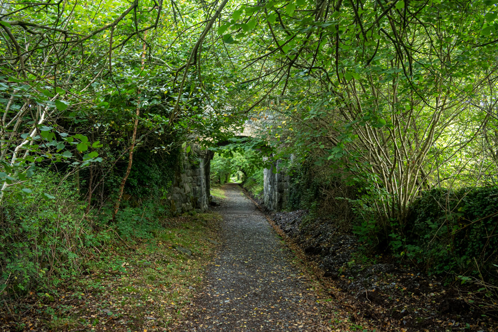
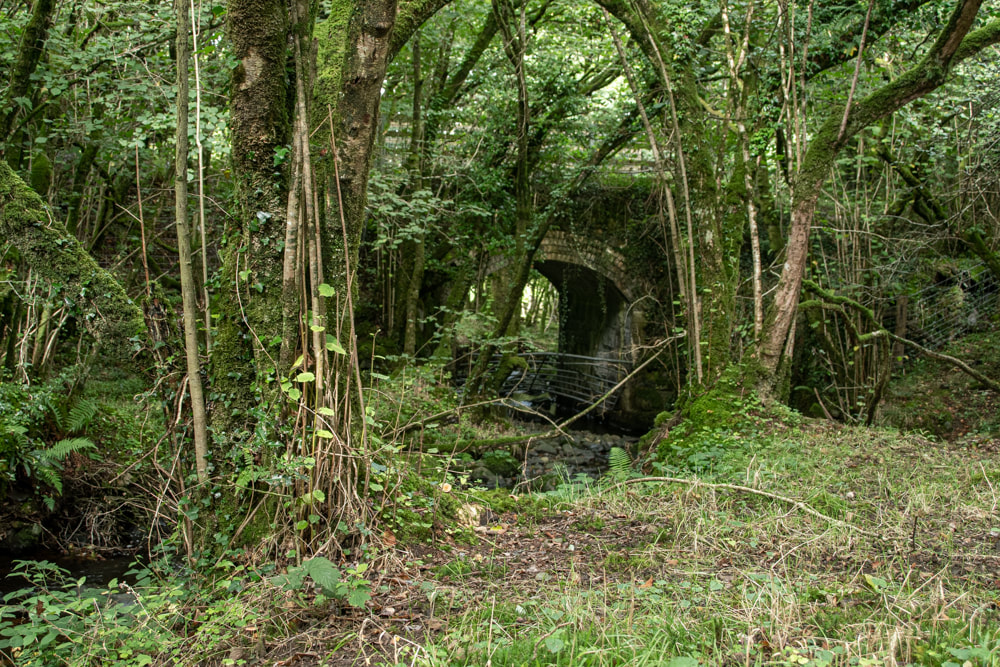
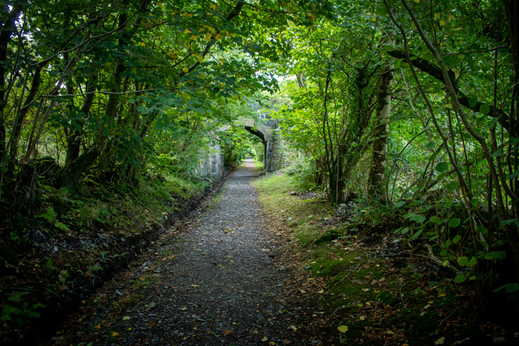
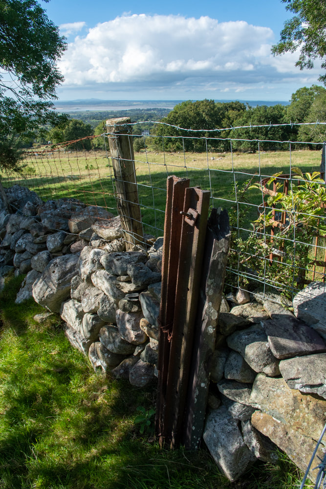
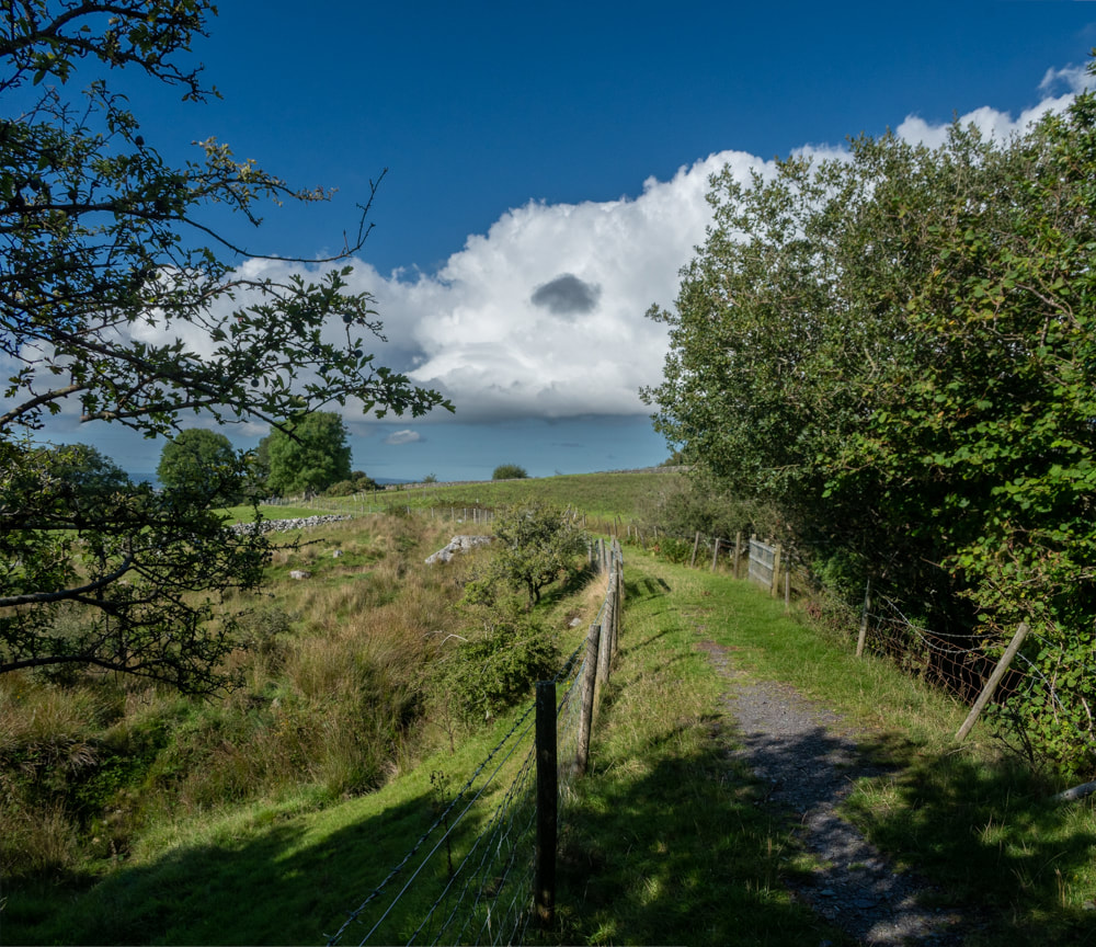
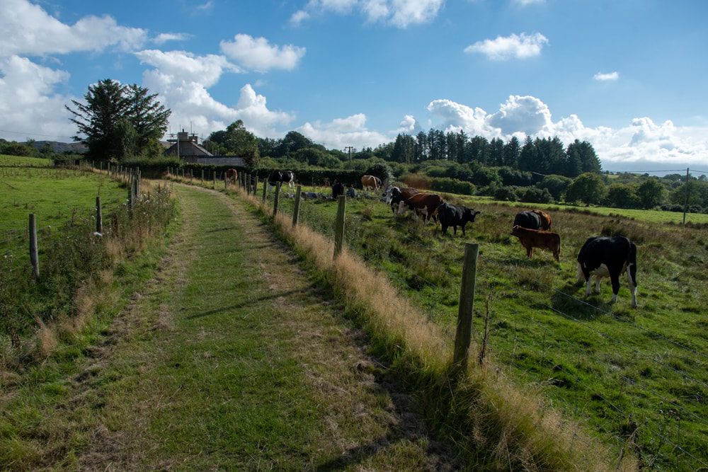
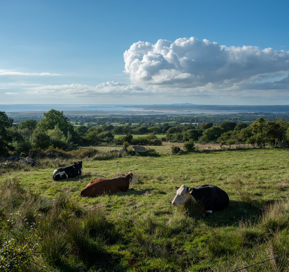
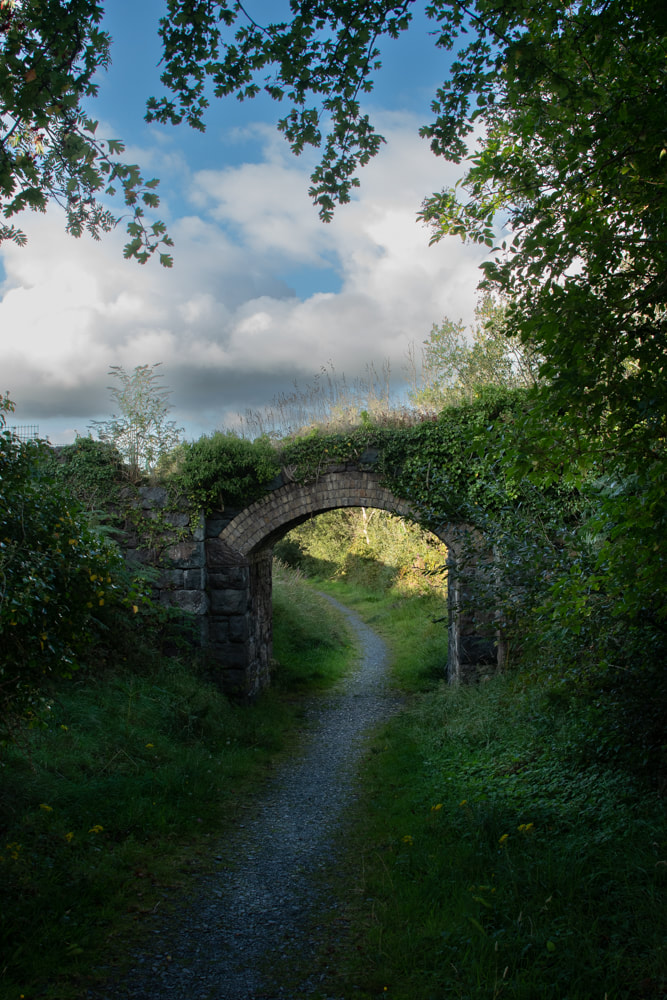
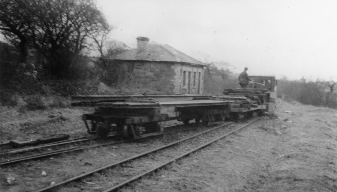
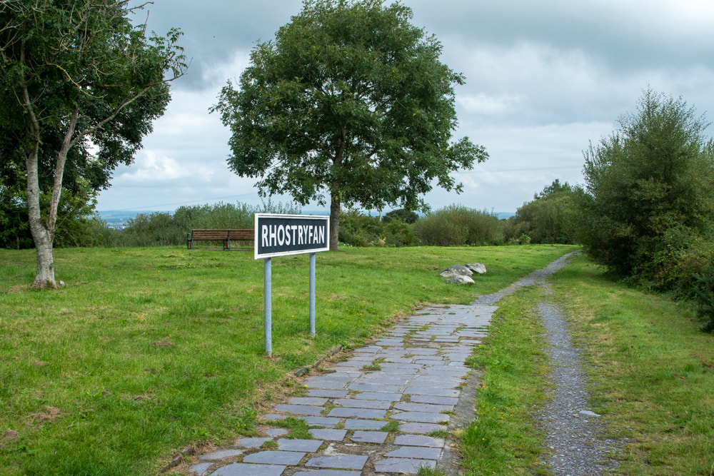
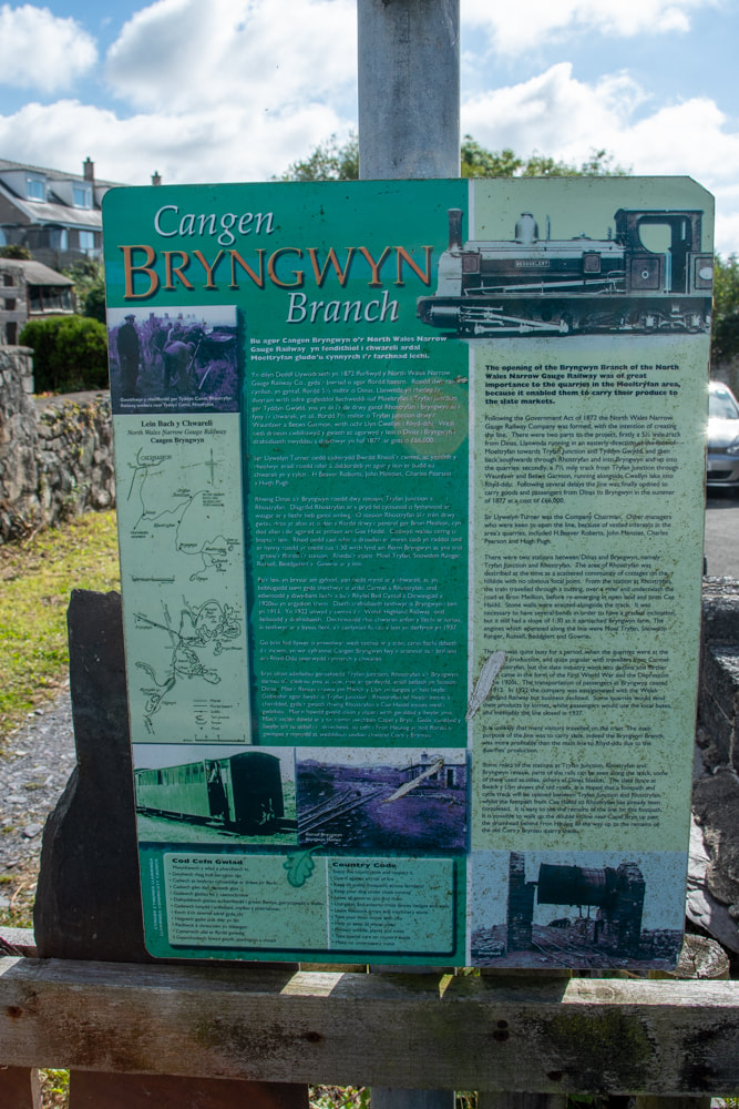
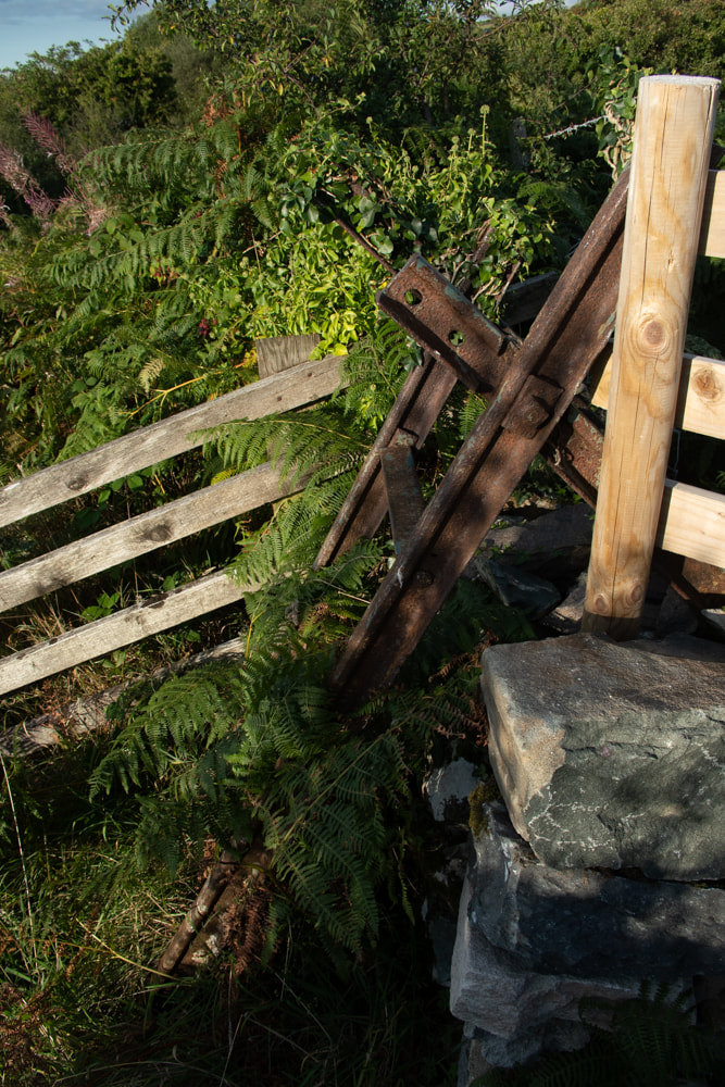
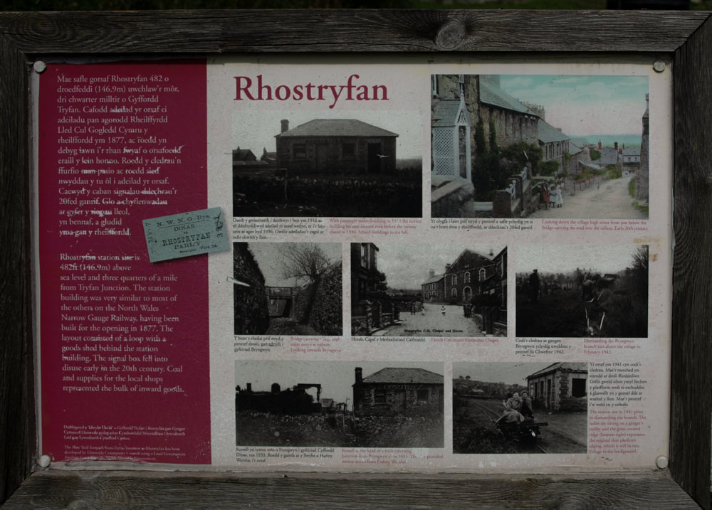
 A look at the Bryngwyn Path This is a pleasant, bosky walking trail, which I suspect has the same bucolic feel about it as it did back in the nineteenth century when it was a narrow gauge railway. It follows the formation (for most of the way) of the old, disused Bryngwyn Branch of the Welsh Highland Railway. If you travel from the Tryfan junction end, towards Bryngwyn, there is a steady, if gentle, gradient uphill pretty much all the way. In an ideal world, you would get off the Welsh Highland train at the neat little Tryfan Junction station and walk up the trail from there. But we were being awkward, and started halfway along the route, doubling back. There’s a large car park at Rhostryfan (halfway point) which seems to be specifically for the trail, so this is where we left the car. Rhostryfan is signed from the main A487 which goes through Bontnewydd (not the new by-pass). Look out for a brown “Slate Trail” sign in the middle of Rhostryfan village. 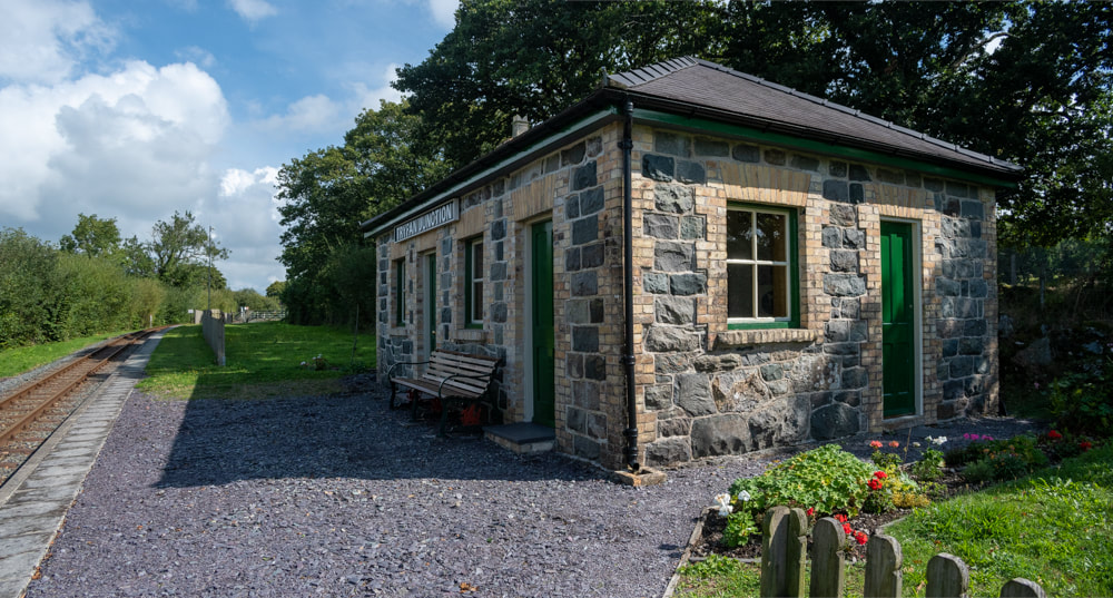 The very fine restored station building at Tryfan Junction. Walking the route, there are several old bridges, fulfilling their original purpose. It’s good that they haven’t had to fiddle about with altering the loading gauge or the ground levels because they didn’t have to cater for a modern railway like the W.H.R. You will soon begin to recognise the house-style of the bridges, with yellow brick arches and coursed stonework. Talking of relics, there are also one or two lengths of original rail in use as gateposts. 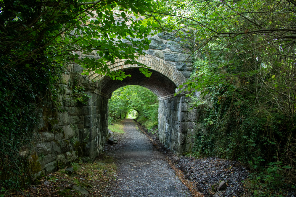 The present footpath opened in May 2011- and with the passage of time, has lost it’s rawness and has settled nicely into the landscape. Mature trees line the route almost all the way until you start to see the quarries on the skyline. Towards the end of the trail, there are some curves which give panoramas of Caernarfon Bay and Anglesey, while the council web site claims that on a clear day, the Wicklow Mountains in Ireland can be seen in the distance. 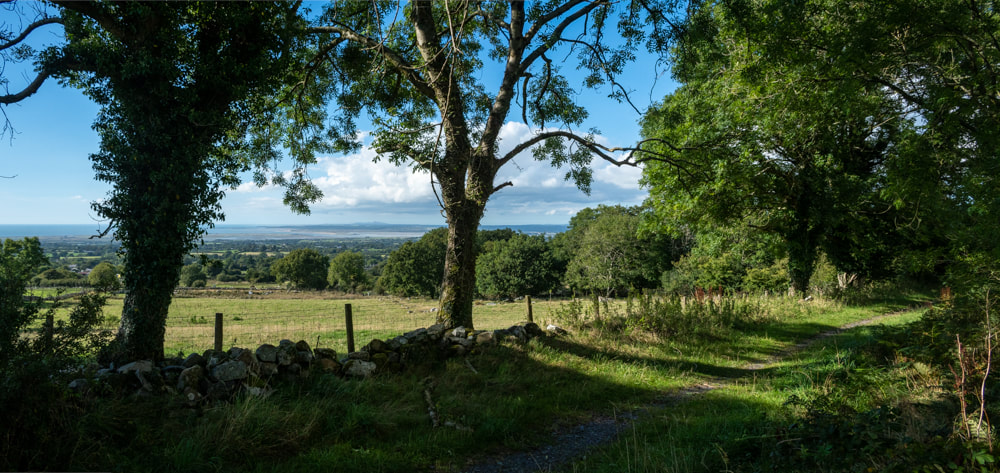 An unlooked-for bonus comes on the latter section of the route, as it starts to become more moorland in character. On the Caernarfon side of the trackbed are some Roman era hut circles, which can be made out by a rough ring of stones. They are difficult to see, and some to the Nantlle side are buried in gorse and bracken. But it’s quite a thought, to stand there and imagine folk settling here all those years ago. 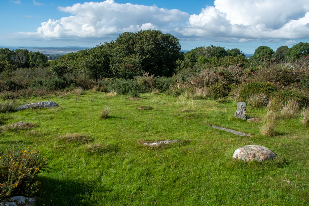 The hut circle. The only disappointment is that the route ends very suddenly at Bryngwyn farm. You can see the trackbed going off into the woods, but you can’t follow, as it’s private land. There’s no mention of this, or how to see the rest of the mile or so to the Bryngwyn Drumhead on the otherwise excellent signeage and interpretation boards. We ended up walking up the lane to the left, not realising that we were being shadowed by the trackbed as it looped and scrolled to gain height. The lane passes by some dwellings that were once humble quarryman’s smallholdings- apparently much of the trackbed is a right of way, and the incline itself crosses a “B” road and can be feintly made out with the eye of faith. If you intend to walk this section, it would be a good idea to take a map and have a good look at the Google Earth view as well. The site of Bryngwyn station has been obliterated, although Jaggers* says in his description “a more unlikely site for a railway station cannot be imagined. “ 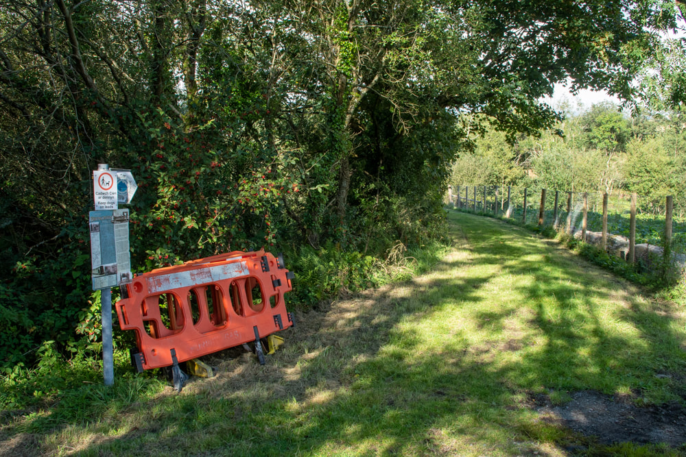 You're on your own- the end of the trail. The council boast that the trail is a resource for cyclists- I doubt this, as the section from Rhostryfan to Bryngwyn is infested with gates, sometimes cropping up in groups of three. I suspect there were some hefty access issues and landowners to be placated; I understand that and it’s fine, but it’s not a cycle-friendly route, I don’t enjoy heaving my bike over endless gates. Once at the drumhead, the tramway split into three quite fascinating sections. All can be followed up to the quarries in one form or another. That’s an entirely different tale, and I hope to tell it soon. I’ve not gone into the history of the branch as it has been amply covered elsewhere, although I’ll give a few pointers below. Suffice to say that it opened in 1877 and was taken up in 1936. *Jaggers Heritage, PDF Welsh Highland Railway Bryngwyn Branch, an excellent site by Ben Fisher. The Bryngwyn Branch, out of print, but available on Ebay sometimes. Llanwnda community council site about the path Festipedia entry about the branch. "Mud and Routes", excellent description of the path. Here are some further photos of the branch.... Comments are closed.
|
TracksReceive the occasional Treasure Maps Newsletter- and alerts when a new post is available!
If you enjoy my content, please buy me a coffee!
Check out my other online activity...
Index
All
|

 RSS Feed