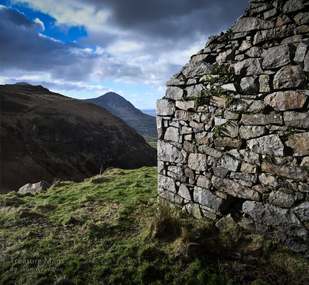
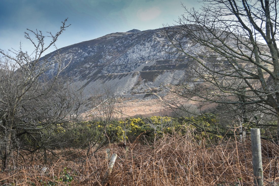
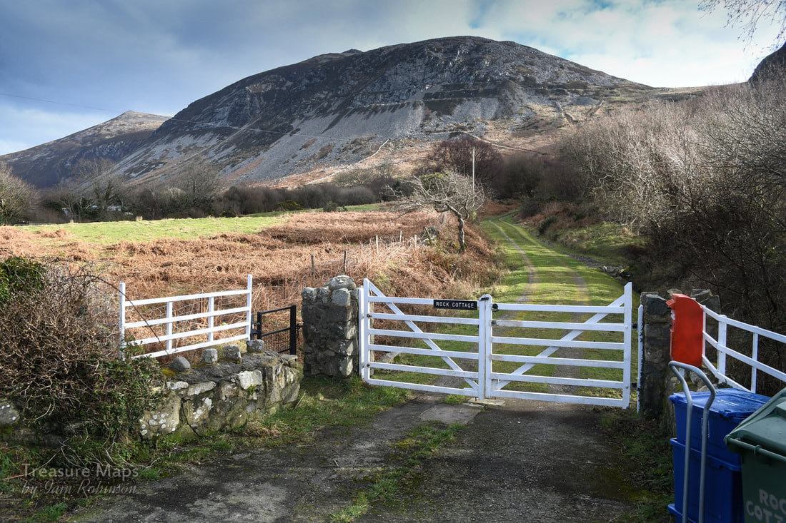
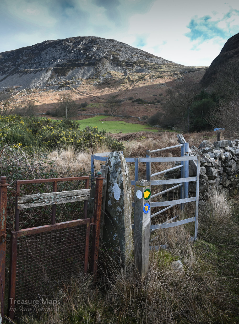
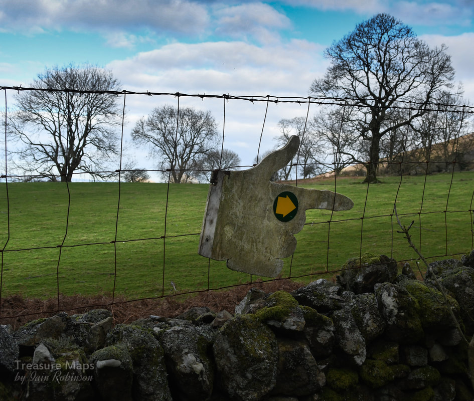
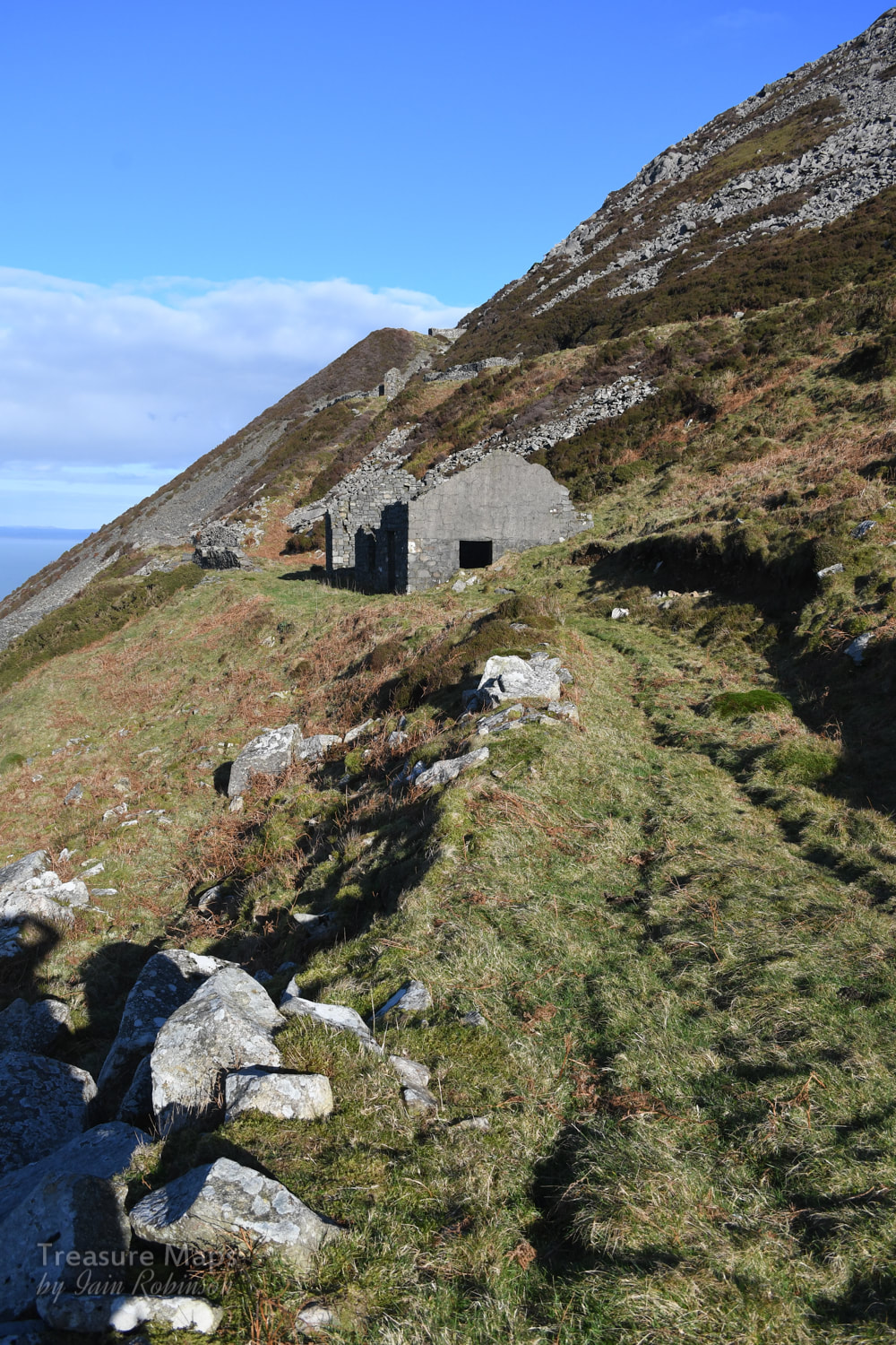
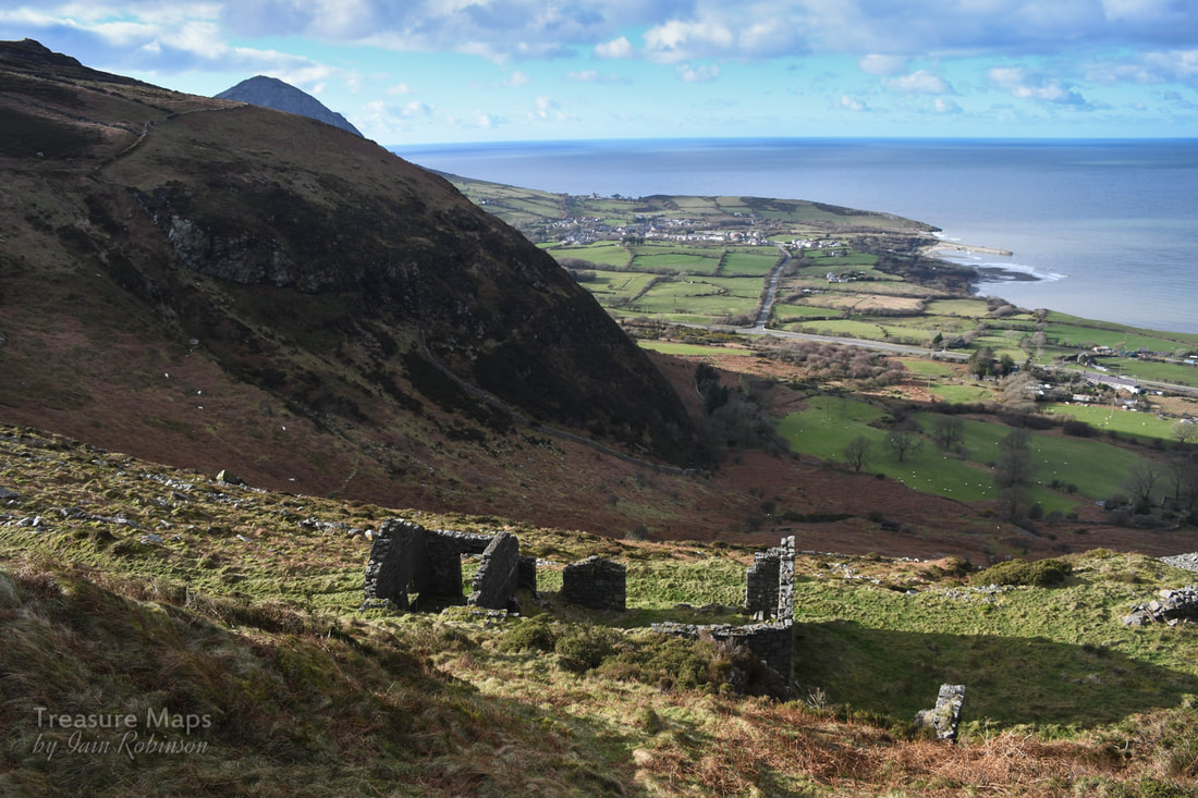
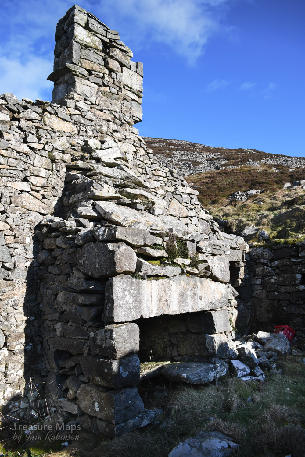
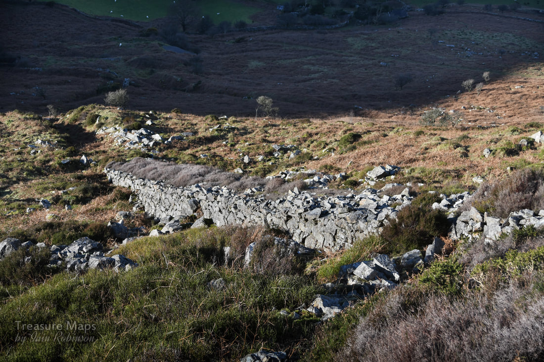
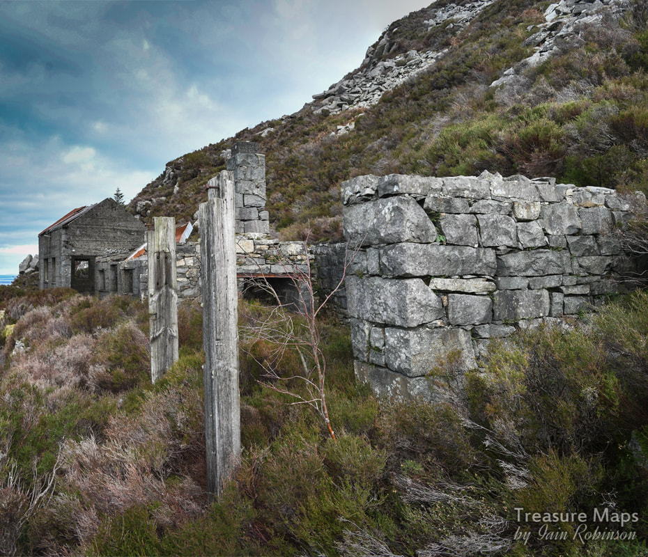
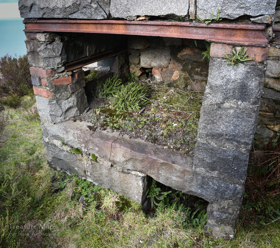
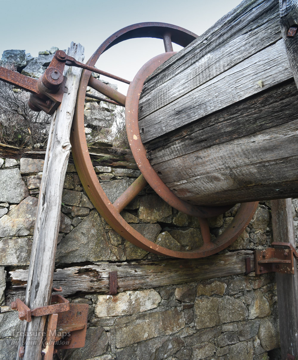
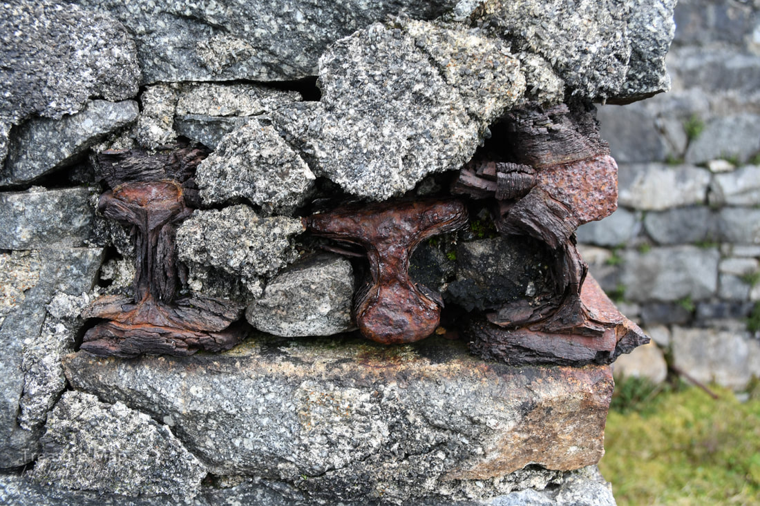
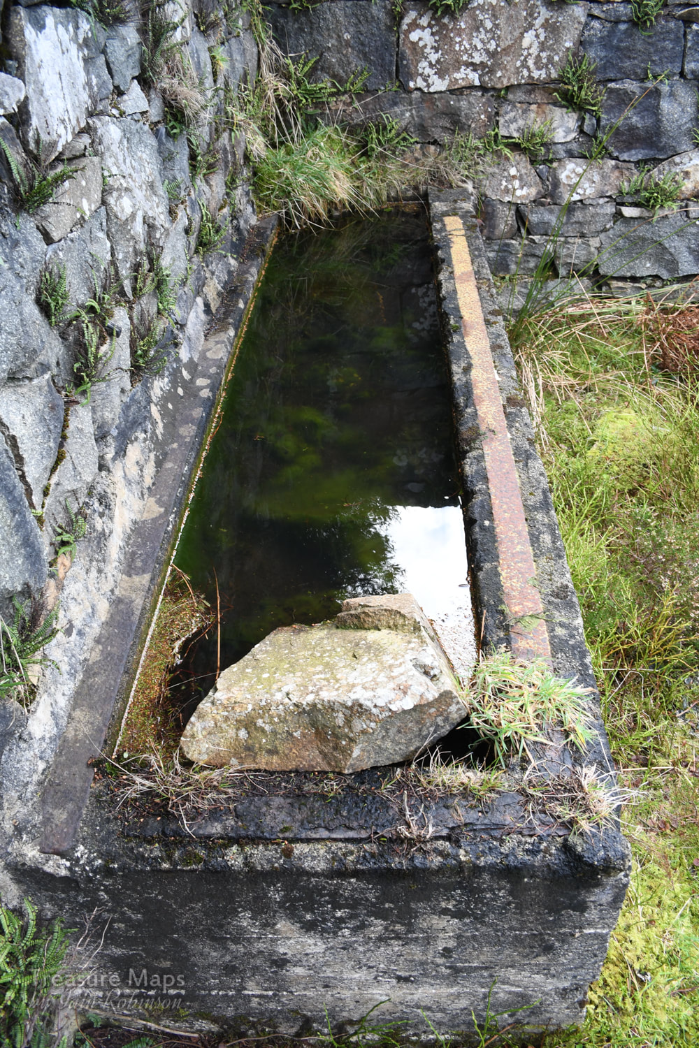
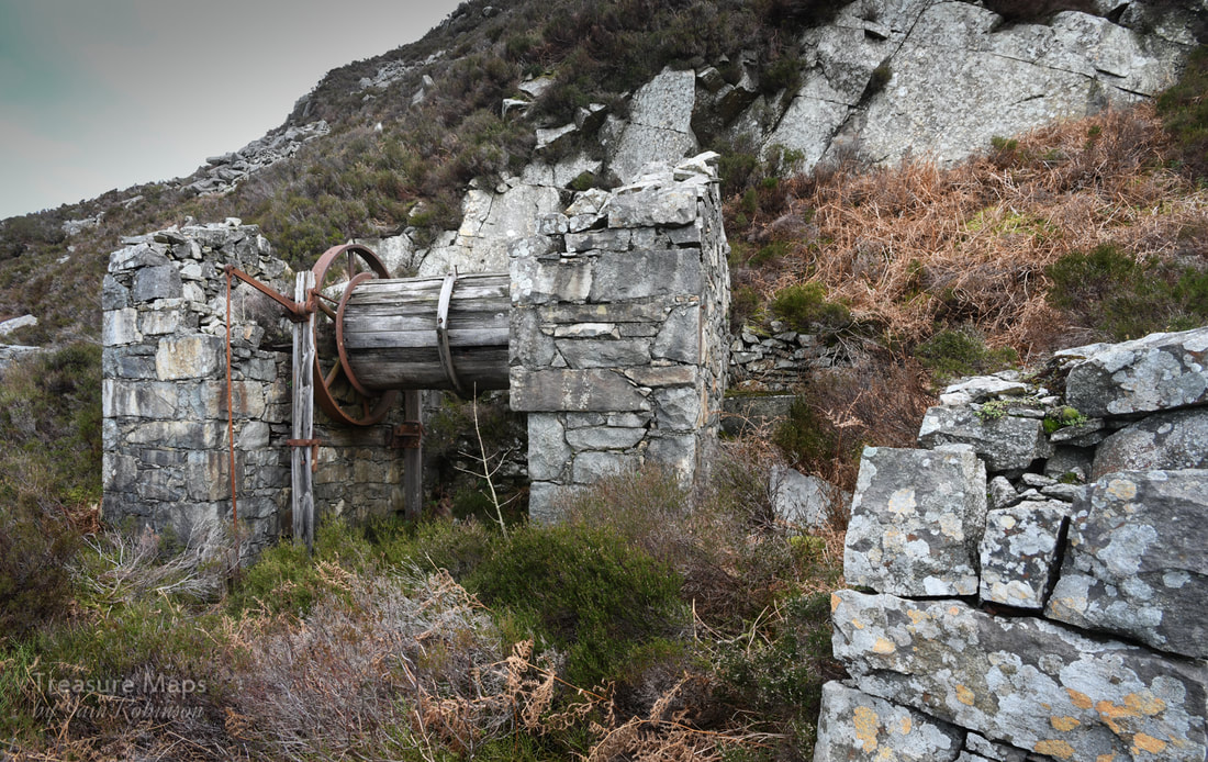
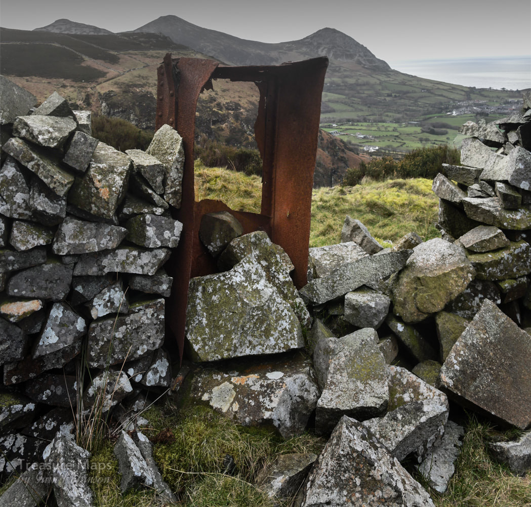
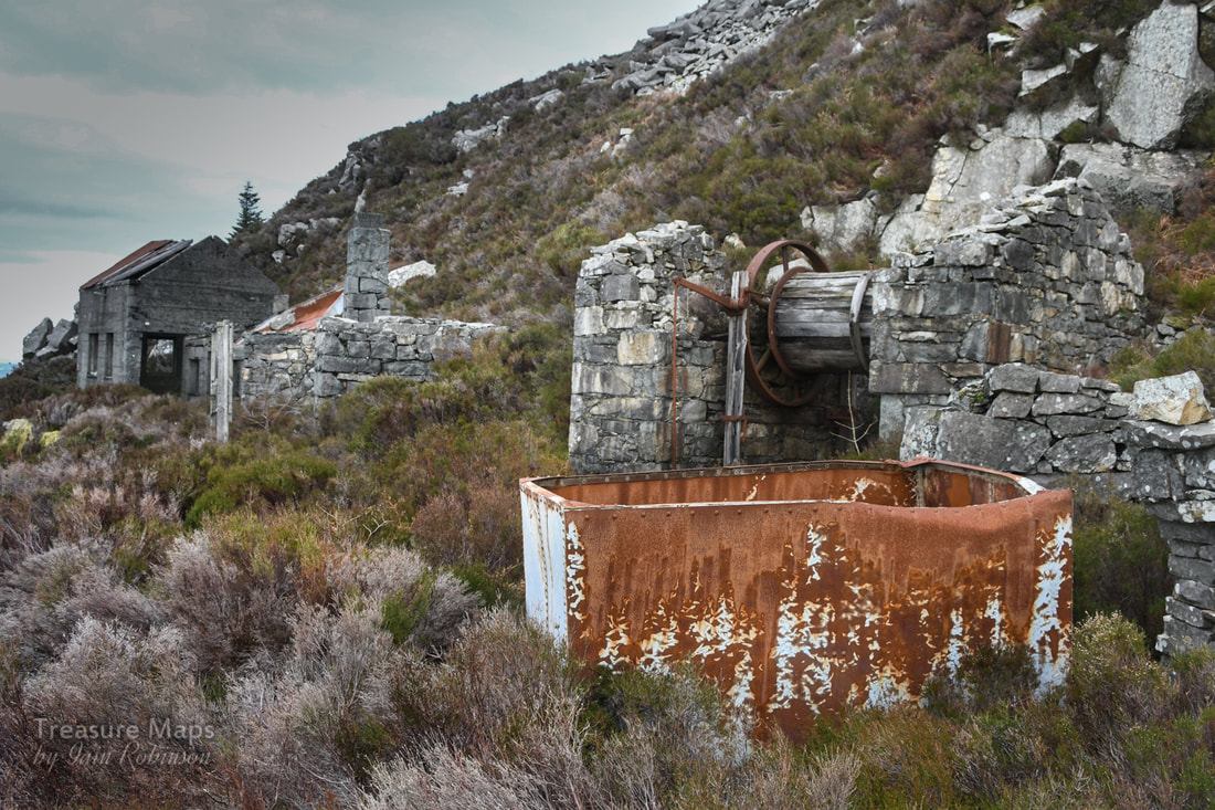
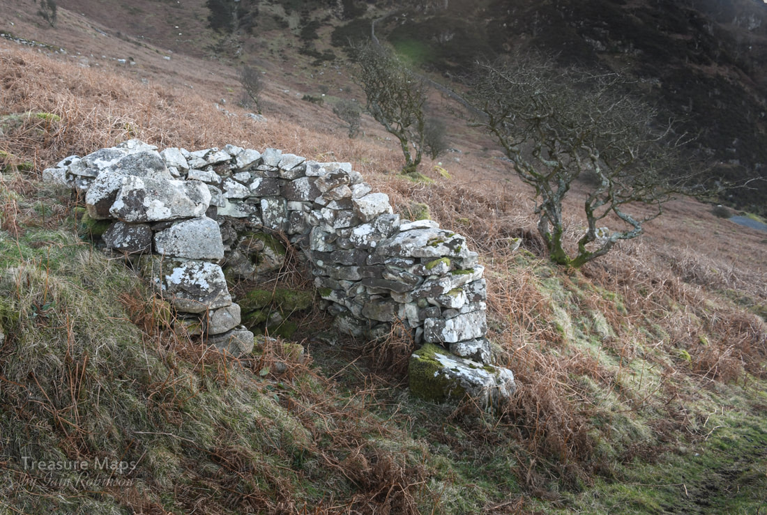
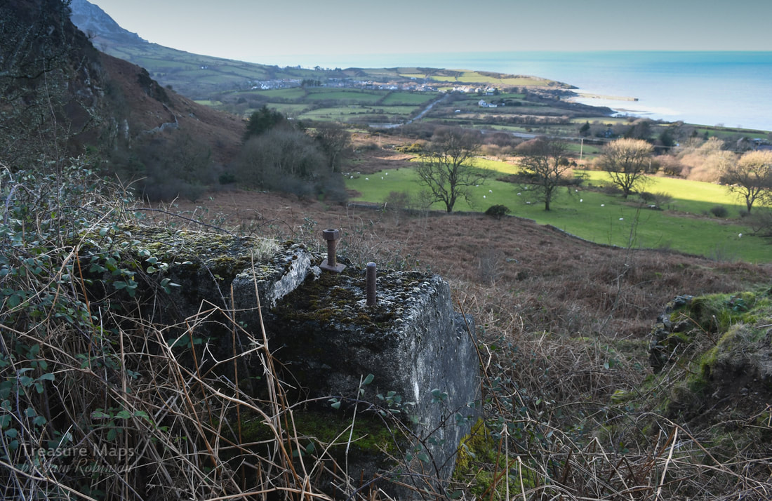
 Trefor and Moel Pen-Llechog from the level 1 drumhouse. Tan y Graig means "under the rock"- a good description of this quarry. It is a place we have often glimpsed as we passed by on the A499, after visiting Trefor or one of the other granite quarries on this part of the Llŷn Peninsula. Last week, we decided to take a closer look. It turned out to be a very enjoyable walk, not too taxing after a winter when we haven't been able to get out too much. But no amount of determined pedalling on the exercise bike prepares you for the real thing, slugging up a steep hill track, sun in your eyes and the freezing air biting your lungs- bliss...right? 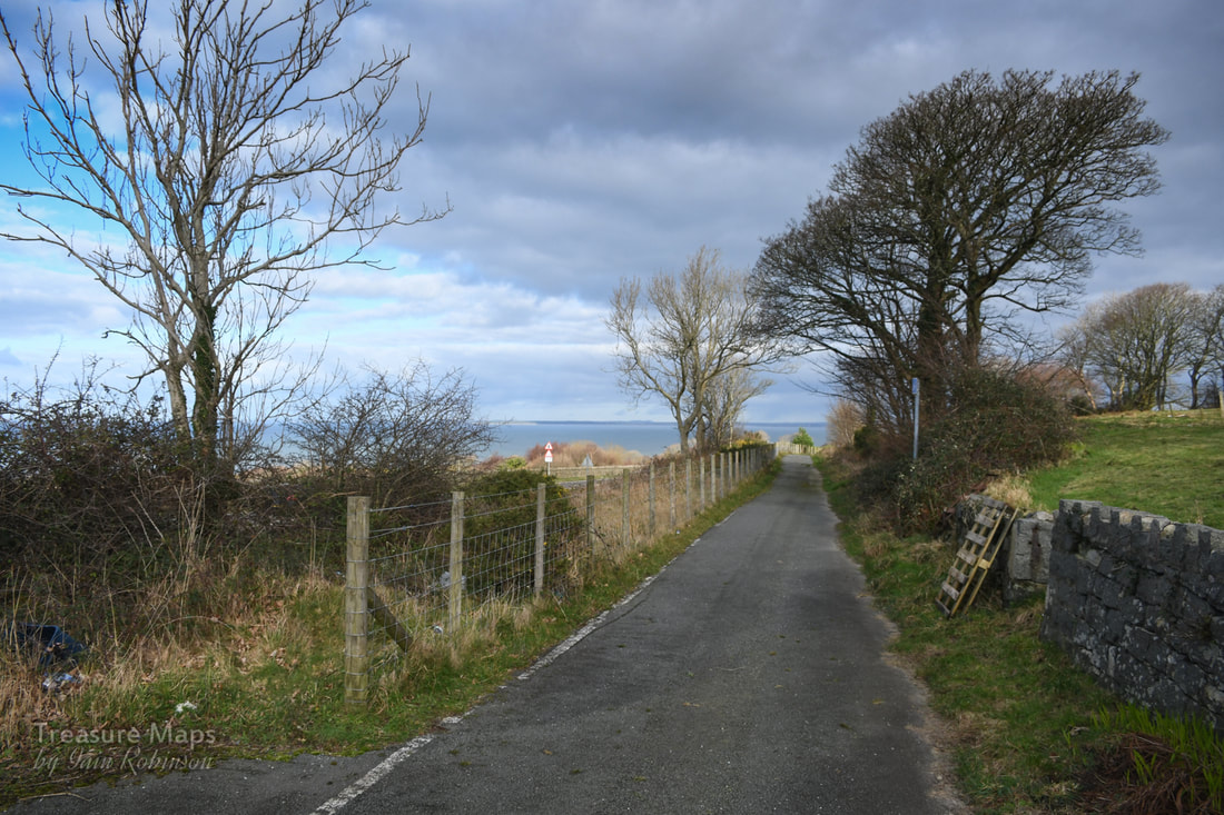 Our starting point, the cycle track on the A499. We started at the beginning of the cycle track off the A499 at SH3838046491. It's a short step along the track to a gate and a footpath marker leading to the accurately named "Rock Cottage", a sweet property that looks as if it might have been a quarry manager's house. There was an amusing decoration on the gate post which caught Petra's eye... 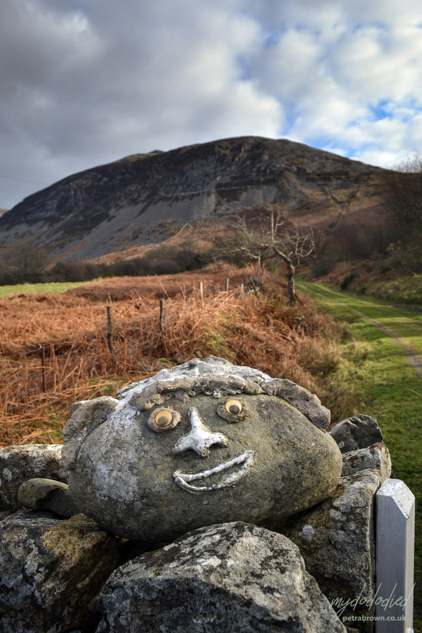 Photo by Petra The path, on the route of the Llŷn Peninsula Coastal Path, starts to climb up past a set of abutments from the quarry incline, which can be seen coming down from high on the hill above. Our way seemed to be determinedly heading away from the coast, but never mind... The incline seems to have passed over the trackway here. According to the old maps, there were extensive tramways converging on the shore and a loading quay. sadly, most traces of the tramway have been absorbed by the landscape and the quay is only visible as a set of stumps below the waterline. It's confusing, as the old map marks at least three inclines, and all are visible in some form or another. I guess they were developed at different times. We passed an unusual structure which I feel may have been the powder store just before the track does a jink uphill to the right and starts to become steep. 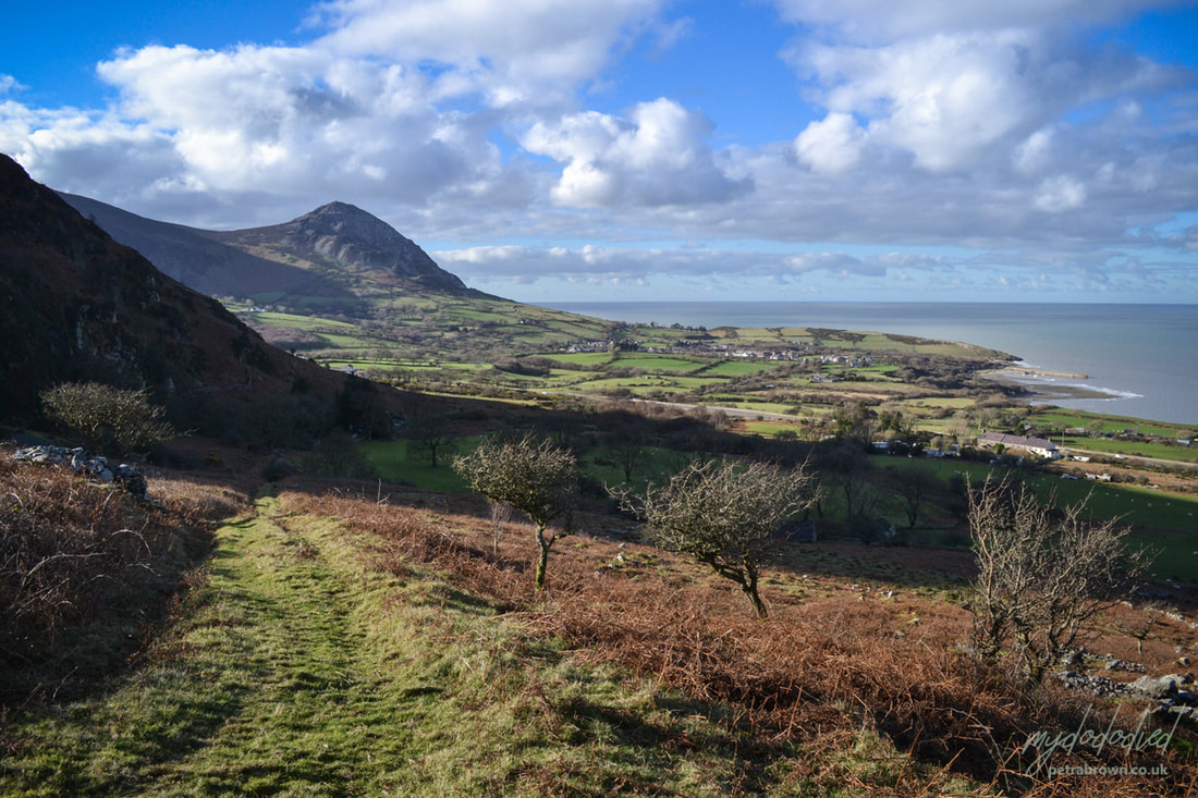 Petra's photo showing the workings of Trefor in the distance- and the possible powder hut on the left of the track. Soon, the path passes between shoulders of rock on either side- two of the inclines passed over the path at this point. Already, spectacular views were opening up below, notably the village of Trefor and it's small harbour, now bereft of the old stone loading quay which became unsafe a few years ago. We could make out the iron mine on the headland- and of course, the amazing structures on the hill belonging to the granite quarry. I've covered Trefor quarry in a couple of posts here. 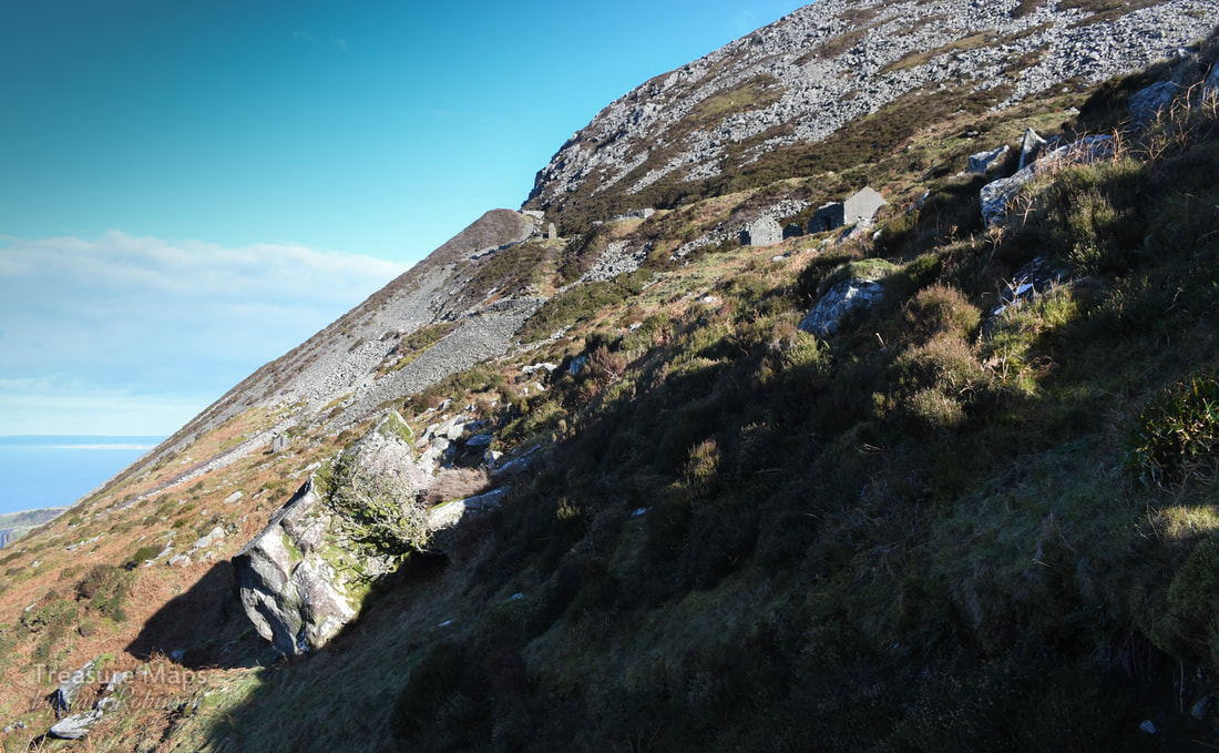 First glimpse of the quarry lower level. It was now a short pull to the first level of the quarry, where we left the coastal path as it forged determinedly inland. That might well be another walk, as there are the remains of a couple of farms and a vestigial manganese working along the path, but I digress. 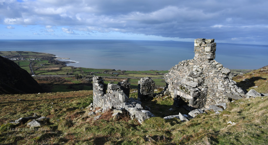 The first of the double smithies that we encountered. No doubt keeping tools sharp was an important consideration in a granite quarry! 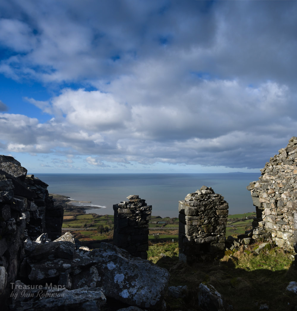 Inside the smithy. We'd seen some buildings as we climbed up, but the level looked even more interesting now we were there. There was a ruined structure slightly above and away from the main workings- it looked like a barracks, so we climbed up to photograph it first. We had a surprise, as it was a smithy, with two blacksmith's forges inside. It was built into the hill at the rear- I can't imagine there would be problems getting the fires to draw up here- the view from the door was amazing. We could see all the way back to Caernarfon and then along the west coast of Anglesey to Holy Island and Holyhead mountain. A ferry was coming out on it's journey to Dublin. Back on the first quarry level we took stock of the buildings and found another pair of forges, attached to what looked like an office. Since the other, upper forges were in better condition, I surmised these lower ones were older. I wonder why they weren't upgraded instead of building a new structure? Further along the level revealed a ruined drumhouse for an incline nestled in against the rock face. I would guess that this was the earliest part of the quarry and that this was the original incline. 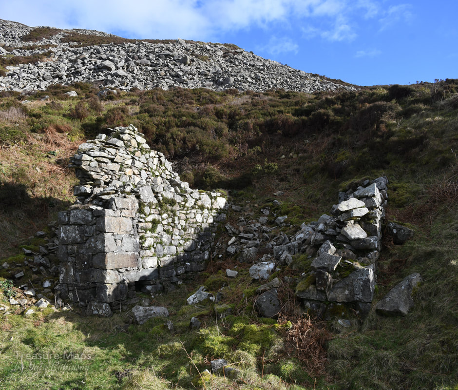 The first drumhouse on the lowest level. Further along the level and some quarrymen's shelters were placed behind another drumhouse. A short incline climbed up to another level and we set off up it to see what we might find. This level sat upon the 700 foot contour- yet for such a small elevation, the views were surprising. This looked to be where the proper quarrying was done- the rock was split and blasted away from the mountain and lay about in a haphazard manner. There were working shelters, ruins without roofs where men would chip away at the stone, fashioning cobbles and blocks with a hammer. Things were beginning to remind me of Penmaenmawr, especially the deep heather covering the floor of the quarry and the elevation. 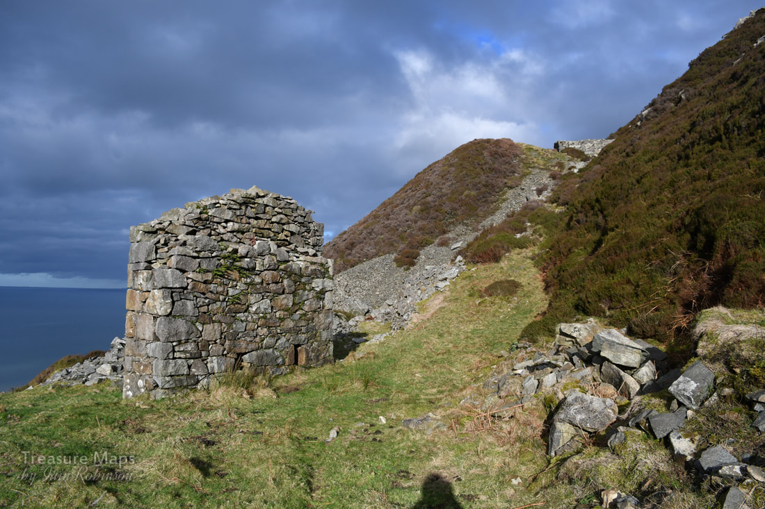 The drumhouse at the north end of the first level. A single sheave, perhaps? There looked to be no sign of a companion wall. We took the sheep path up the short incline to the next level above. 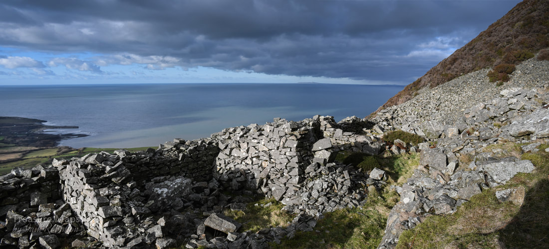 Quarrymen's shelters behind the level 2 drumhouse. Towards the north end of this level a newer range of structures beckoned. By 1913 Tan y Graig Quarry had turned it's production over to roadstone, crushing the stone on site and then sending it down to the quay -as at Penmaenmawr. But here, there was another quarry a couple of hundred yards to the north- a quarry that had a ropeway to the sea. This was Tyddyn Howell, an intriguing site, although one that is almost impossible to access today. As far as I can tell, a new incline built between 1914 and 1920 was below this position- the tramway from this incline went to the yard at SH3955047225. Theres a strange right-angle turn at SH3932447009,marked as a tramway on the 1914 revision of the OS...it must have been a brutal corner! 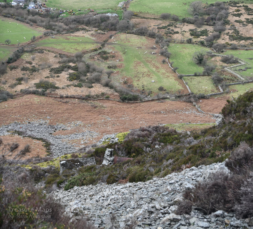 The isolated drumhouse that took the granite down to the Tyddyn Howell quay. On the old 1914 map the route is quite clear, but there's no trace of it today. We could see from the drumhouse on this level, another structure below, a drumhouse with all the wire intact- again, very difficult to access due to land slips. On our upper level, there were more structures - yet another pair of forges and a compressor house, with concrete foundations and holding bolts for machinery. There were sections of pipe lying about which I assumed must have been for compressed air, for the later type of rock drills employed. The structures here were a mixture of cast concrete and granite, showing their relatively modern origins. 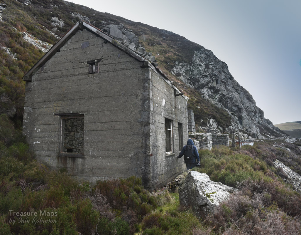 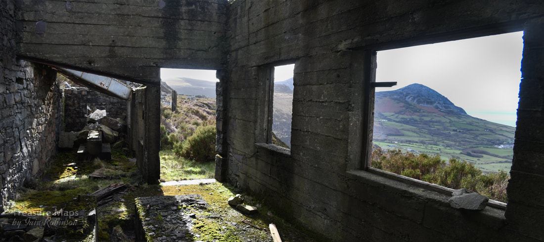 Inside the Compressor House. We set off back, fairly tired after the climb. Coming down, we could make out a square building near the old incline below...this was puzzling, given the location, at a crossing of the two inclines. We left the track to explore, climbing a bank of what looked like fairly new chippings and along to the junction at SH3906346604. After a major skirmish with brambles and a few cuts, we found some quarrymen's shelters and the square structure, which seemed to be a water tank, immediately in front of a set of concrete bases for a machine. Other bases were littered around. Jeremy Wilkinson lists this as part of the National sett quarry. At first I thought perhaps this was associated with what seemed to be a small pit to seaward here, but later I reasoned that it was probably a working area near the base of the inclines where stone could be worked and crushed. 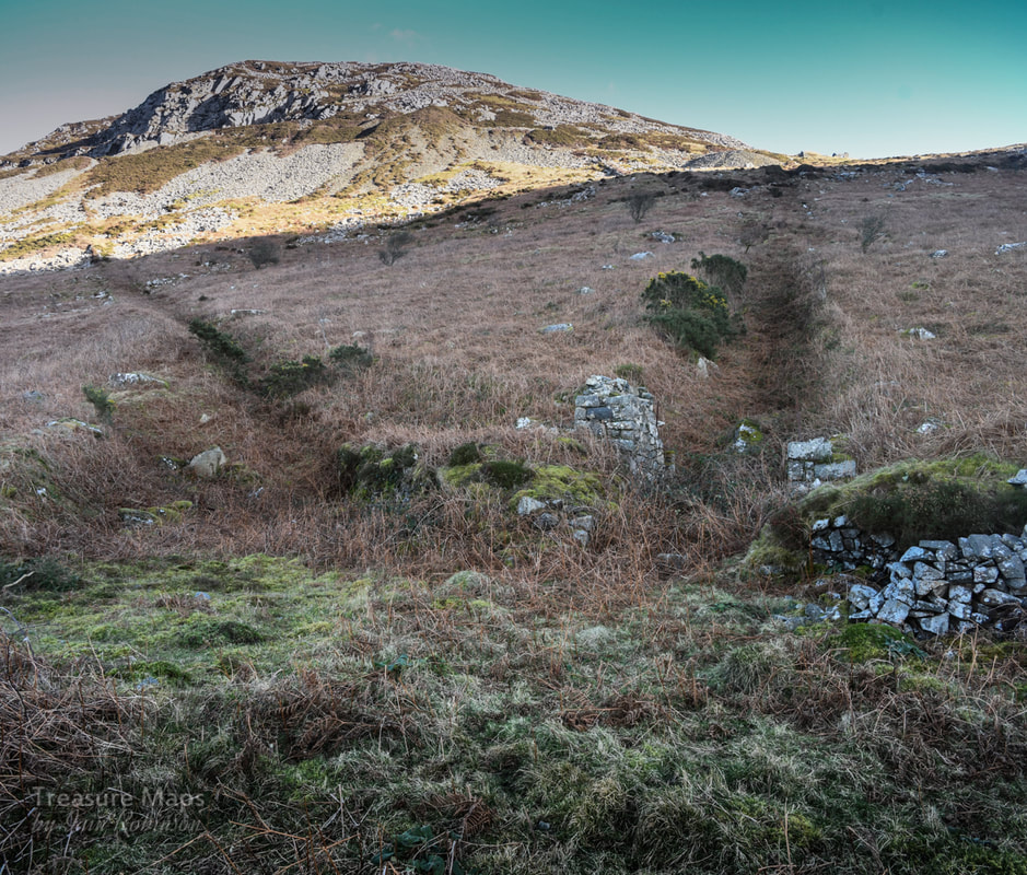 The junction of the two inclines with working area. It may well be worth coming back when the days are longer to check out the prehistoric cairns on the slopes of Gyrn Ddu and the ancient settlement. I will, of course, report it here if we do. We did make one last interesting find as we trudged back to the car, the remains of Tan y Graig farm, a building of some antiquity, now ruined at the base of the hill. It was awkwardly sited for photography and difficult to explore -as the farmer had a penchant for dumping dead sheep in it. Petra braved one rather recent corpse to get a shot of the fireplace. Not a pleasant place- although it could have been, as the ruins were fascinating- but the foul smell drove us off.  Tan y Graig farm...a place of some antiquity with those tiny windows. 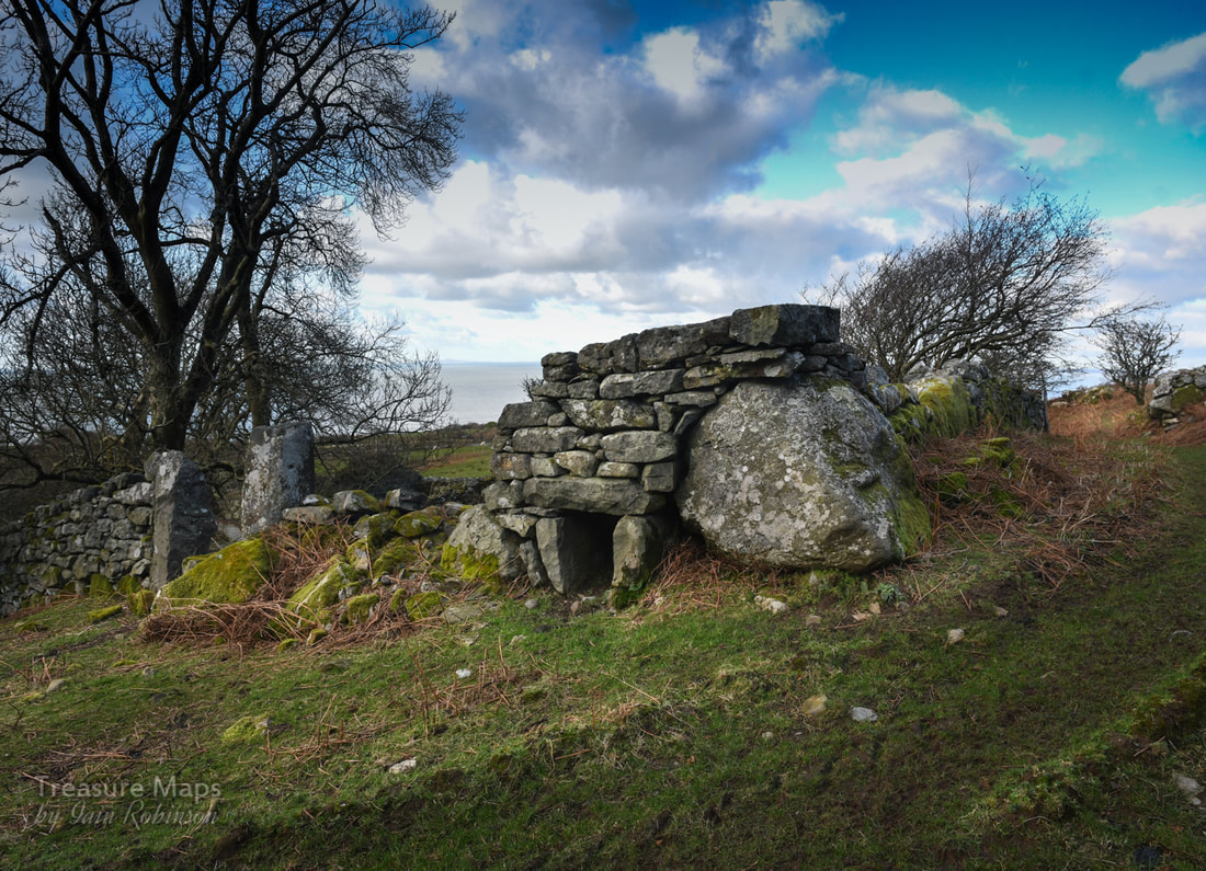 A strange dry stone relic in the farmyard. Some Brief facts-
Tan y Graig quarry was operated in one form or another from the mid 1800s until 1880, when it fell into disuse. In 1913 it was re-opened and worked until 1937 at the northern end, when it was working in conjunction with Tyddyn Howell. references- Ordnance Survey, 1888, First edition 25inch Ordnance Survey, 1900, Second edition 25inch Ordnance Survey, 1919, Third edition 25inch RCAHMW AP96-CS 0329-0330
0 Comments
|
TracksReceive the occasional Treasure Maps Newsletter- and alerts when a new post is available!
If you enjoy my content, please buy me a coffee!
Check out my other online activity...
Index
All
|


 RSS Feed