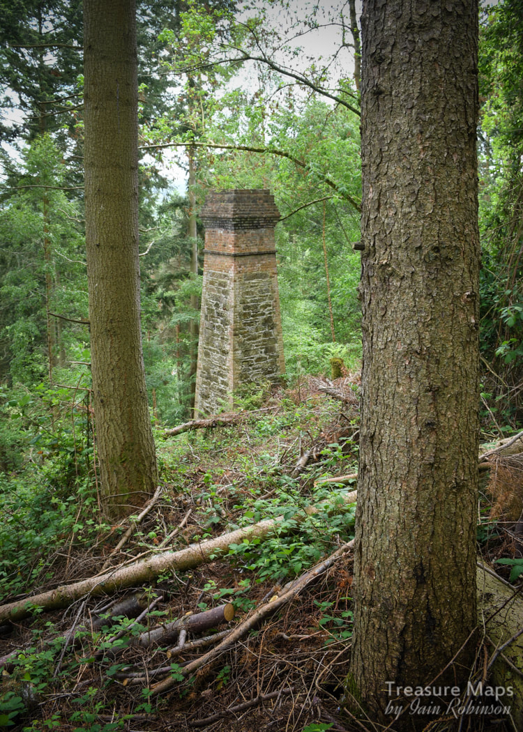
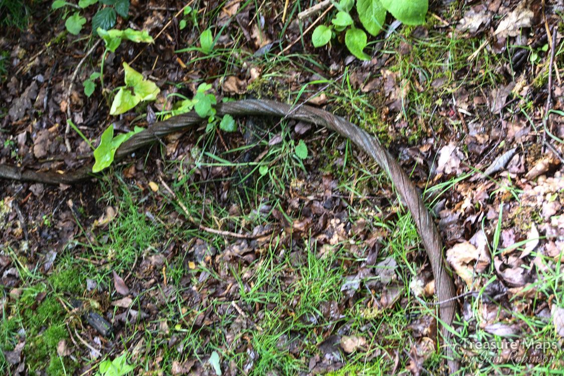
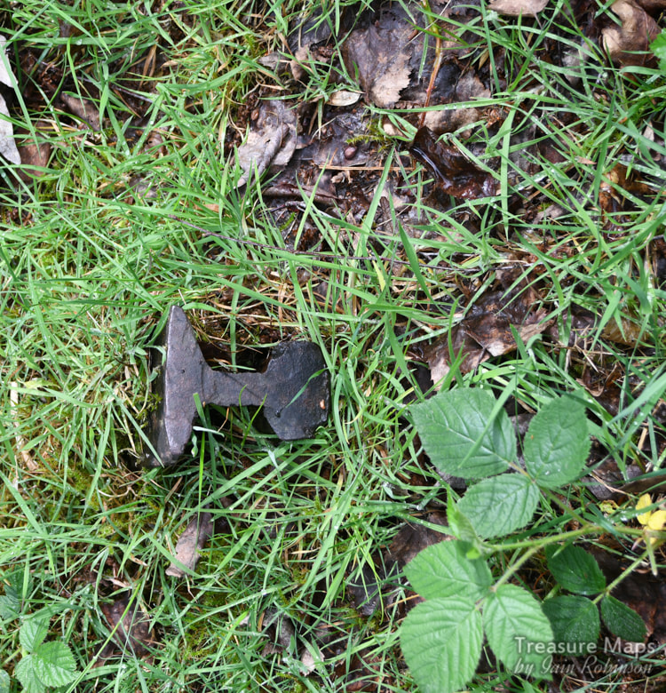
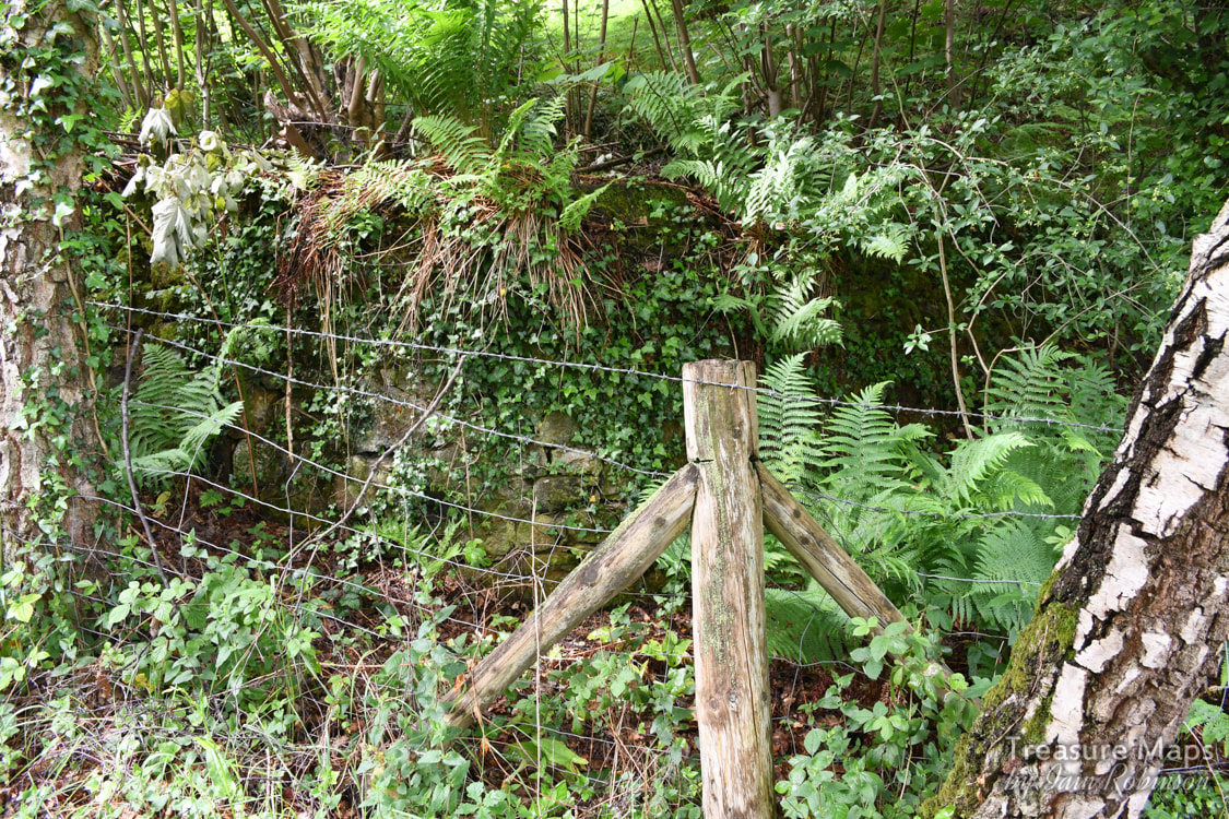
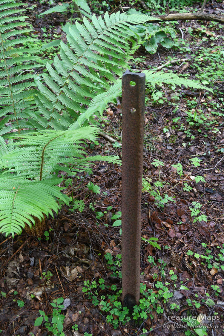
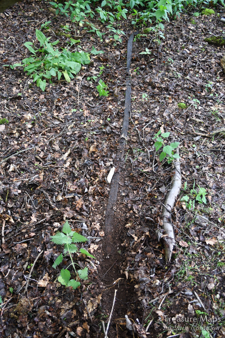
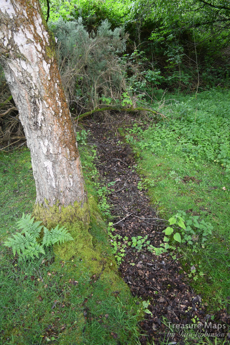
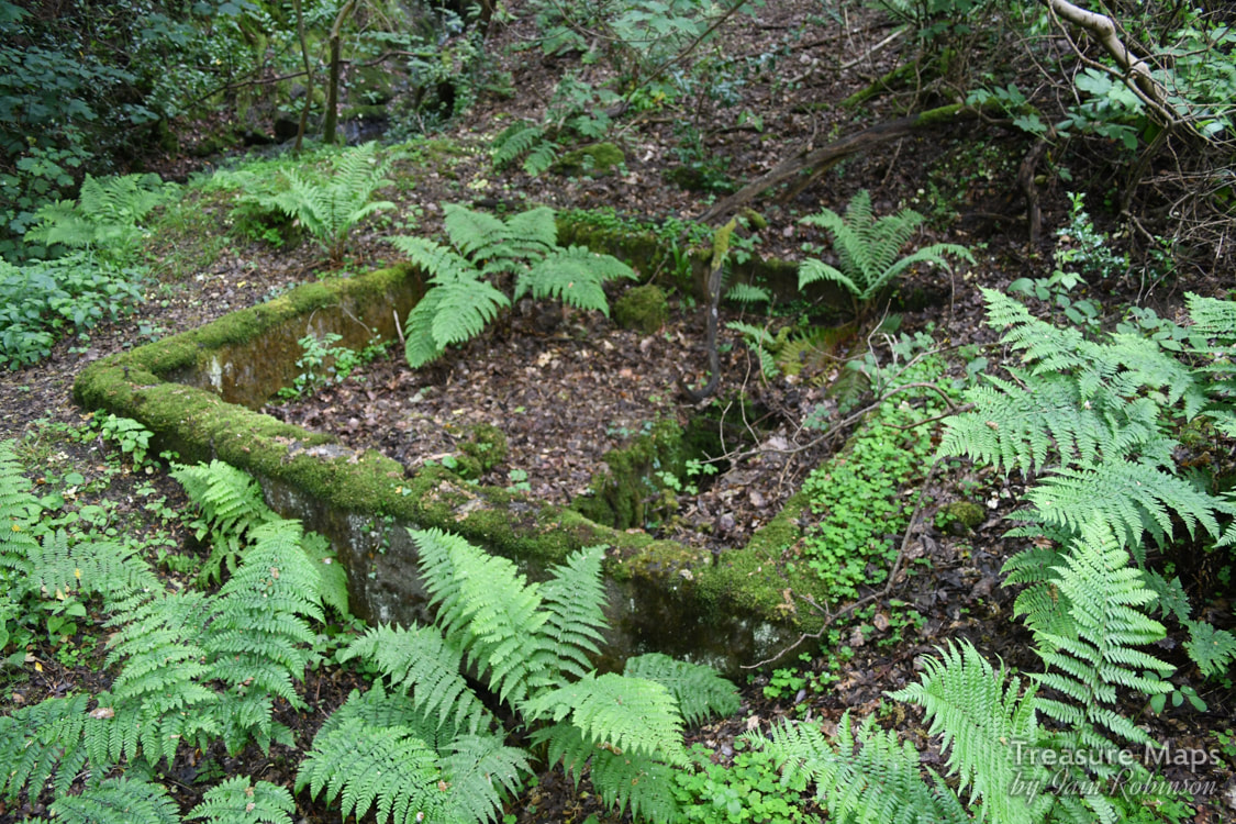
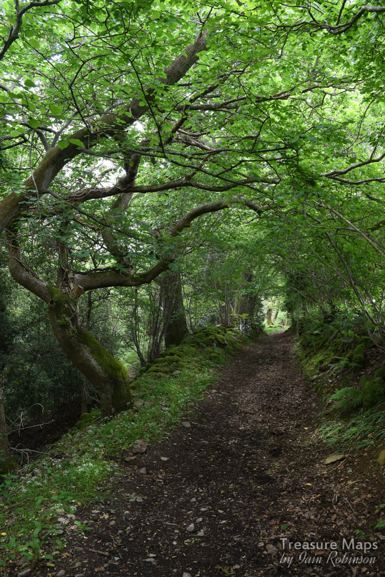
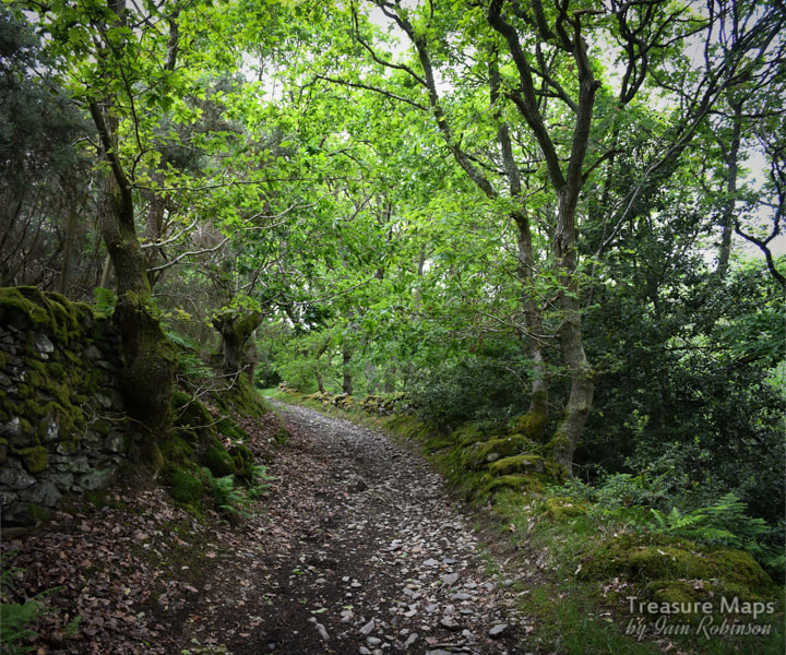
 This is somewhere we'd been aware of for a while, having seen the chimney above the road a couple of years ago and putting it on the "to do" list. Finally, we found time to have a good look around, and although the greater part of the site is landscaped, it was still a fascinating explore. A medieval or even prehistoric origin has been suggested for this site, but there is no documentary evidence for mining in the area until 1753. It seems that the mine, known as the Pwllycochion mine, first came to public notice when a discovery was made by miners of £200 worth of lead ore and black jack (A miner's term for sphalerite, or zinc sulphide). The miners sold their shares in the mine to local entrepreneurs, but it was not a wise buy. In 1836 to 1848, an average of only 88 tons a year was sent down the Conwy river. In 1892, there was an increased demand for lead, resulting in mines up and down the county being re-opened and re-invigorated. The mine was re-started as the Trecastell mine and equipped with new plant- a water wheel, flotation pits and a series of flues to a chimney above the processing works, from a smelter stuated east of the road. This area had the largest workings, following several lodes, with stoping extending to a depth of 105 fathoms and accessed primarily via shafts. The mine produced 2,548 tons of lead ore and 12,554 tons of blende before 1913. After that date, the concern limped on until 1955. 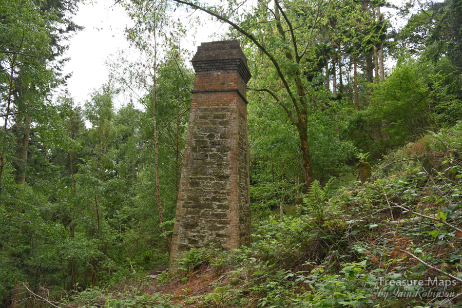 Sadly, there isn't much to see today. There are some adits/shafts further up in the woods, but they are gated and used by Lesser Horseshoe bats as a roost, so best left well alone. I confess, guiltily, that we did trek through the brambles to have a look at the chimney and the adits. It was very tough going, but we were rewarded by seeing how well the structure has been conserved. The upper adits were nearby, gated but looking very tempting. Afterwards we nursed our myriad bramble cuts and torn jeans, but we hadn't been in the adits and hopefully no bats were disturbed. 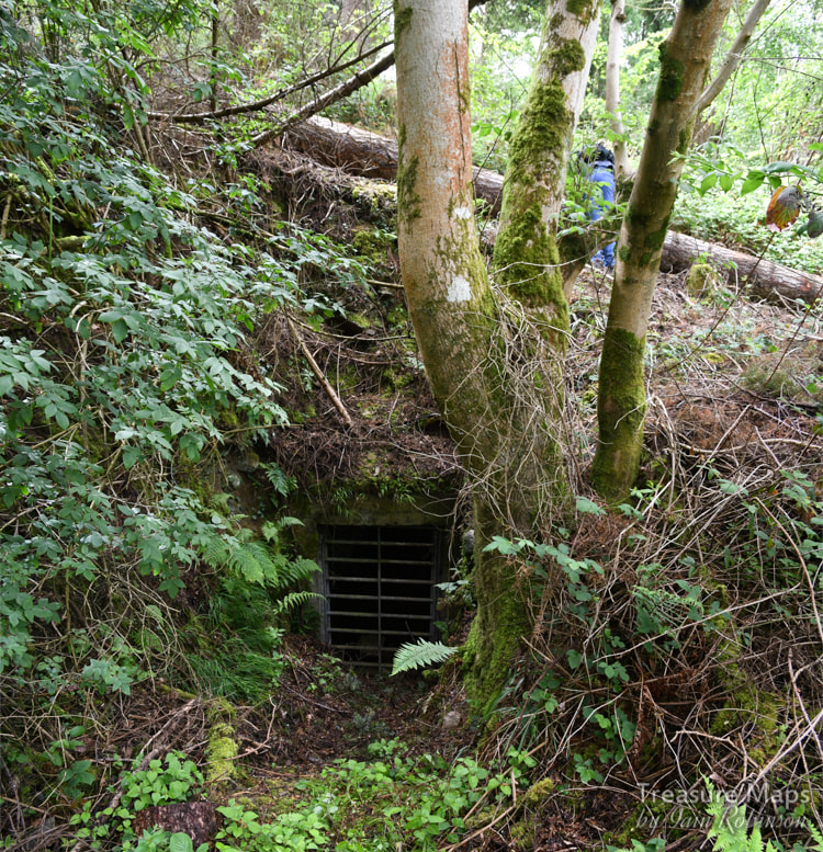 David Gwyn, (in his 1996 report to the Woodland Trust) states that the spoil was barrowed out from the adits, perhaps underlining the antiquity of these openings. Later on in the report, there is a mine plan which shows the depth and scope of the workings which are more extensive to the east of the road. Of the processing works there is little remaining- the site was "landscaped" a few years ago. There was a waterwheel there, a smelter and ancillary buildings. After our first visit, where we were focussed on something else (here) we studied the old maps and the new OS editions and concluded that there was public access on to the landscaped area to the east. As it happened, this was very worthwhile. 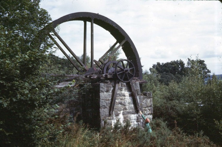 The waterwheel that was at Trecastell in the 1960s. The site has been destroyed since. Photograph by the late John Owen. Many thanks to Simonrail from Aditnow for permission to use this. There wasn't really much to see, but the outlines of the tips and the spoil was a giveaway. The river itself is heavily buttressed and the banks revetted. There is a wall which may have been a dam, choked up with vegetation and willow growth- but it may well be where the water wheel was sited. All around, there was the feeling that something had been concealed...and all there was to show for it were the tantalising shreds of evidence here and there. We did find some small clues in the undergrowth- rails, bits of iron and a curious length of angle that could have been from a hopper wagon. This was excavated using the well-known archaeological method, the "toe of the boot"! Of the shafts and adits east of the road, nothing remains except some substantial tips. It is however, a charming area of trees and undergrowth with some old beech trees which must have been there when the mine was working. Elsewhere, ageing birch trees, their job of colonising almost over, still choke the undergrowth and fight the onslaught of Gorse, which has become "leggy" and almost possible to walk under. I presume that the area was cleaned of any toxic fallout from the lead mining, as the remains here and there of the flue and the water tanks all look very healthy. It certainly makes a grand day out and an excuse to exercise the "eye of faith" :-) It is strange how both of us have developed a mining "sixth sense" where, no doubt due to some unconscious cues from the lie of the land, we feel an area is "miney". The senses were working overtime here. 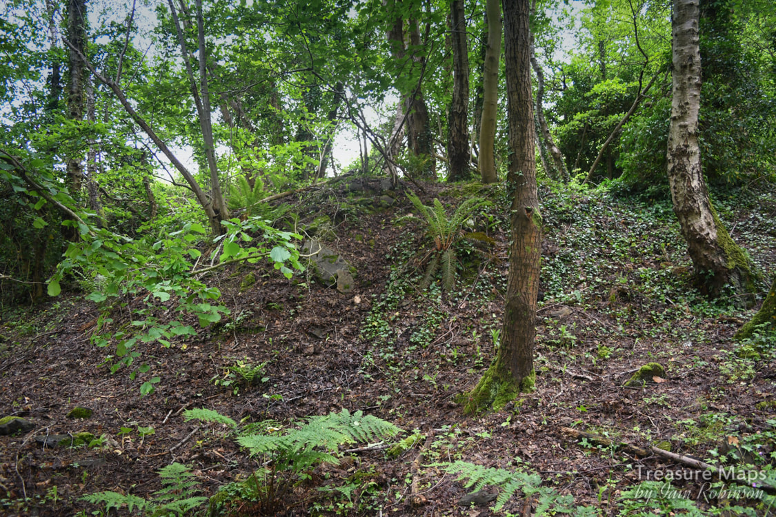 The tips, surviving despite the rest of the site being obliterated. 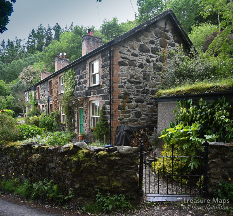 There is a terrace of houses directly opposite and above the old processing works- these are particularly handsome and were built for the miners- now cherished and probably rented from the Woodland Trust. We walked up above the woods (on private land...) and found more evidence of mining, in particular, a filled-in shaft at SH757746... 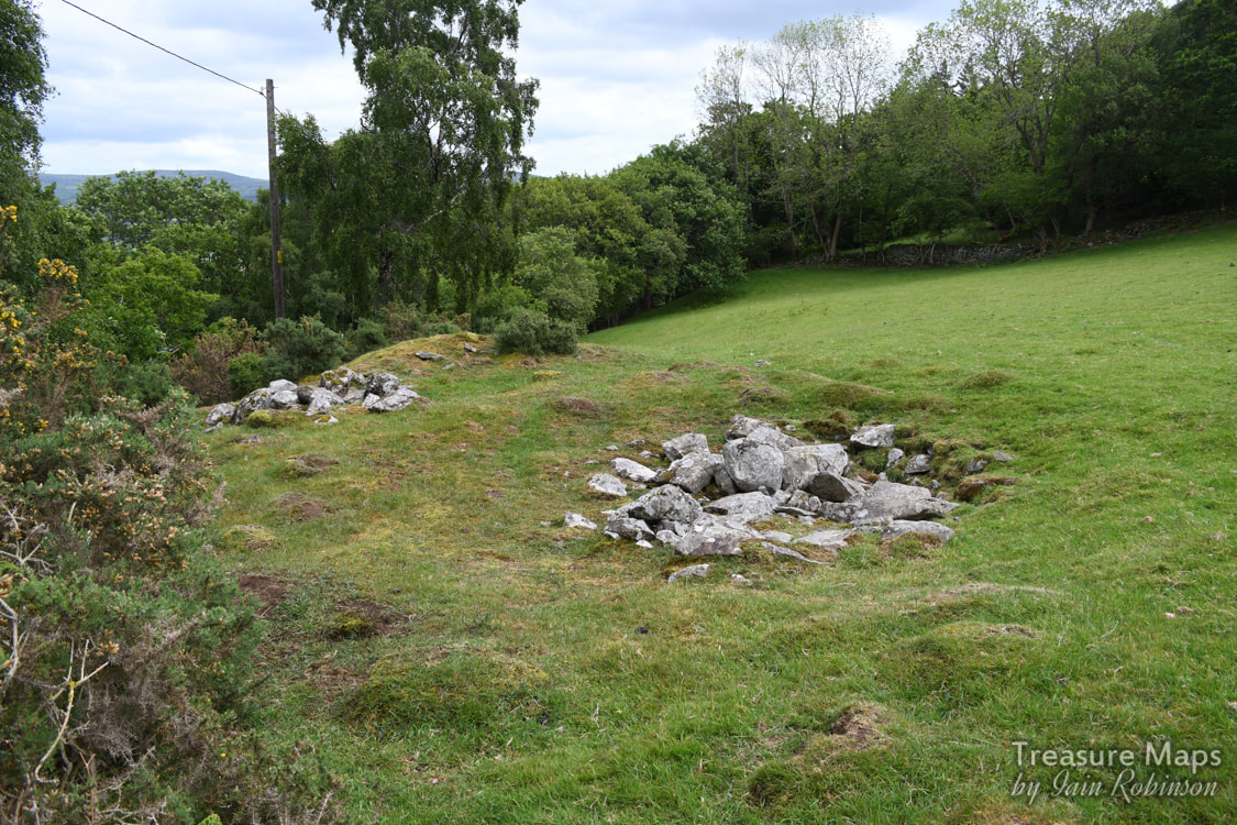 This shaft was probably what is left of the Tynybryn mine, a lead excavation. There is a heap of spoil down the bank from the filled-in shaft. There was a lovely old track (a bridleway) which runs up and around the top of the Parc Mawr, it had the feeling of a sunken lane and appears on the old maps, but seems to have been superceded by the modern lane. Below in the river, there were some concrete remains which might have been something to do with later mining in the 1930s but I couldn't say. We walked further along the road which winds above Parc Mawr and encountered a farm which looked as if it might have had an industrial past- but perhaps that's my mine-frenzied imagination at work! But at the back of the farm was this house, sadly derelict, which was in the same style as the Trecastell houses...could it have been a manager's dwelling? There were a couple of nasty looking farm dogs, obviously considering whether my ankles were worth a bite, so we didn't hang about here. 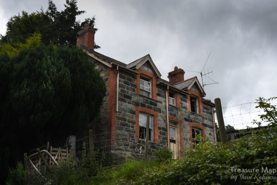 Interestingly, there are a couple of photos on Geograph of a mine adit along this road, something we failed to find- perhaps it was further north than we went. Amusingly, there was an older photo of the same thing on Geograph, but taken a few years earlier...with a twee display of flowers. Glad to see those had gone :-) very un mine-like! Thanks to Chris Andrews for this excellent shot, without flowers. I've since discovered that this is a shaft. 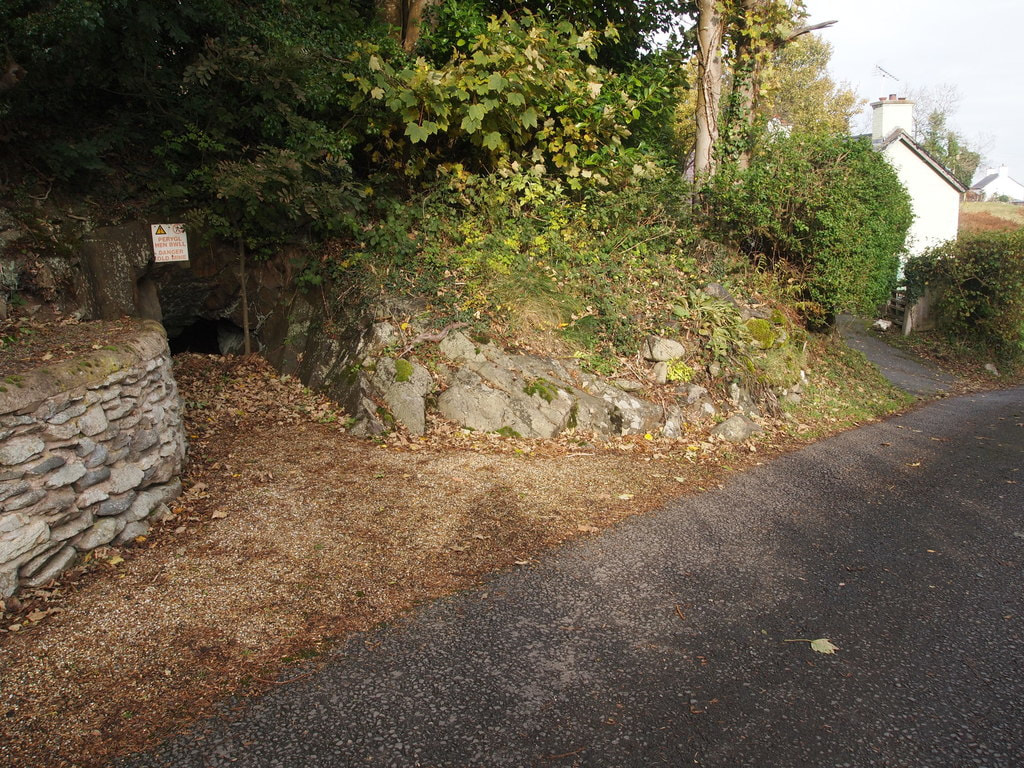 © Copyright Chris Andrews and licensed for reuse under a Creative Commons Licence. 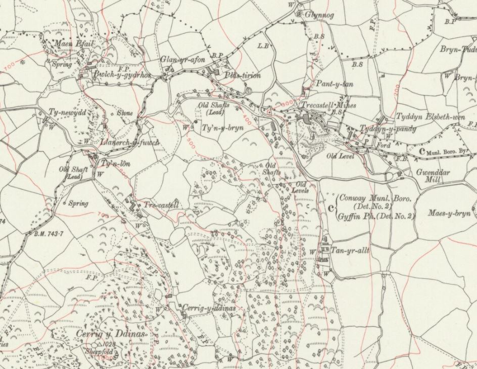 Extract from OS series Caernarvonshire VIII.NE Revised: 1911, Published: ca. 1936. Reproduced with the kind permission of the National Library of Scotland 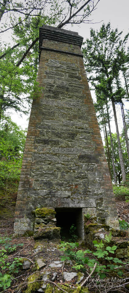 Further references for the Trecastell mine:
"Mines of the Gwydyr Forest Part 7", J Bennett and RW Vernon, Gwydyr Mines Publications, 1997. "Lead Mining in Wales" by W. J. Lewis, UWP 1967. AditNow photo album of the mine here Gwynedd archaeological Trust report 226 Williams C J "Metal Mines of North Wales," Rhuddlan 1980 |
TracksReceive the occasional Treasure Maps Newsletter- and alerts when a new post is available!
If you enjoy my content, please buy me a coffee!
Check out my other online activity...
Index
All
|
 RSS Feed