
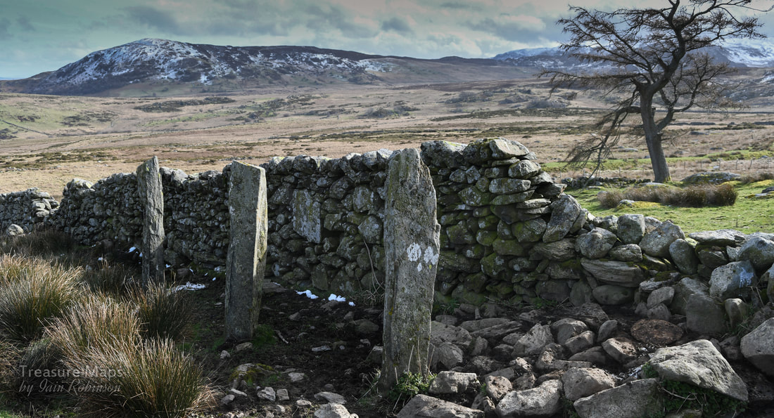
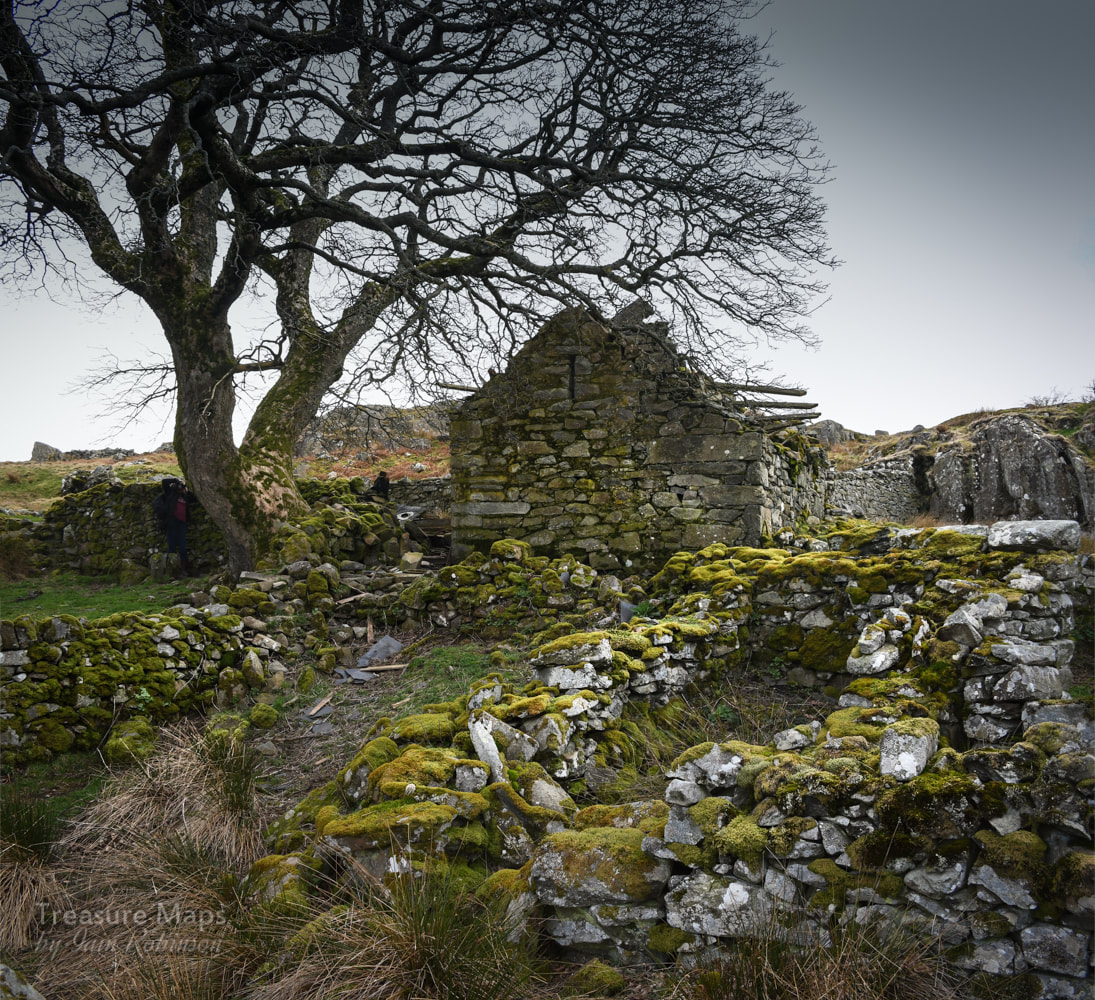
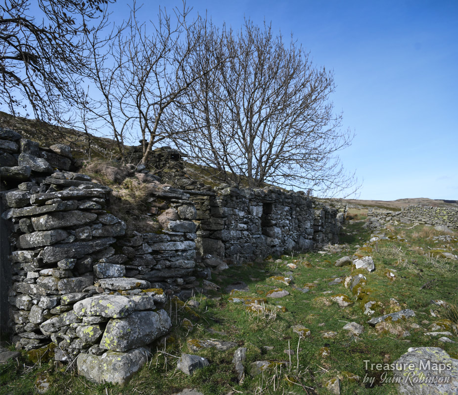
The ruins of Hafod Fach.
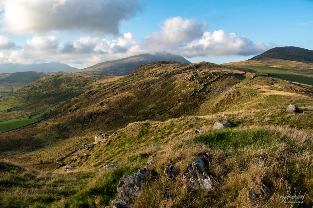
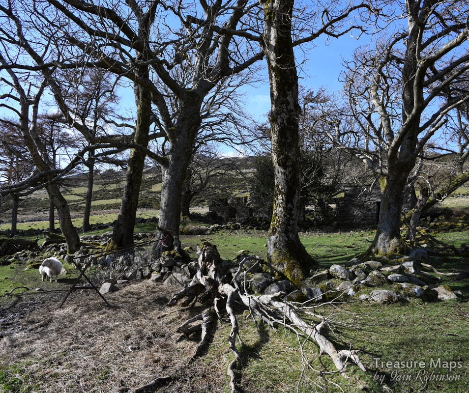
The wild high country to the west of Dyffryn Conwy feels like an uninhabited wilderness, a weather-ravaged land where the Carneddau brood in distant melancholy. These days it is wandered only by sheep and occasional walkers, their eyes on the trail, ideas fixed on the mountains. Yet, there are so many echoes of the people who made this place their home, from the stone age to the late Victorian era.
We have returned here a good few times, looking for the ancient settlements marked on the map, finding mysteries and studying the numerous old Hafods. Incidentally, a "Hafod" is the Welsh term for a summer dwelling- referring to the seasonal cycle of transhumance - the movement of livestock and people from a lowland winter pasture at the main residence (Welsh hendre) to a higher summer pasture, from roughly May through October. It has a slightly wider cultural significance too, as it has come to also mean a summer holiday retreat. I remember reading some humorous graffiti carved on one of the walliau at Glyn Rhonwy quarry, which read "Ty Hafod Jones". Anywhere less like a hafod would be difficult to imagine in that grim spot. The hanging valley of Cwm Dulyn is guarded by the imposing prehistoric fort of Pen y Gaer (see previous post). There are many remains of old settlements in the landscape- hut platforms, round huts, burial cairns and sheepfolds. While the sheepfolds generally remain, the huts are less obvious, and require a fair bit of imagination to interpret, but they are there. 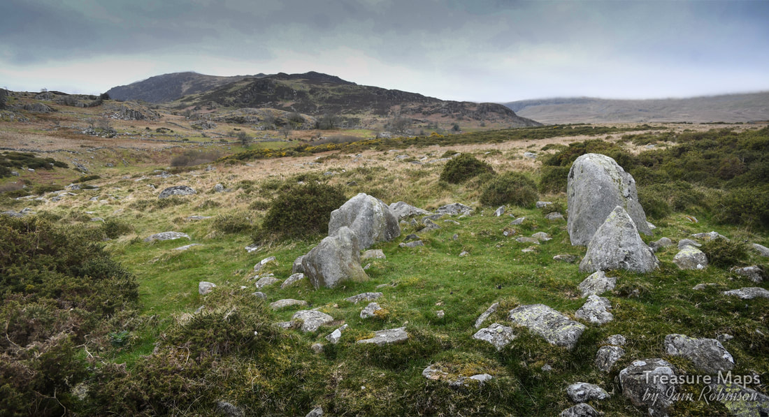
Hafod y Gors Wen ring cairn
There are a couple of ways to approach the area- one is to park at Pen y Gaer and walk along the rough road which carries on up to the Carneddau Mountains. It's a good route and we managed to see all the features of the northern slopes of the cwm in a day. The south side is best accessed from the Cwm Eigiau car park (blog post here). Instead of carrying on up to Cwm Melinllyn, you turn right towards Meineira. A year separated our two visits to this part of the cwm and I noticed that Welsh Water had "improved" the road so as to get workmen to their dam. It's still a great walk, and if you are feeling energetic enough, you can carry on to the hauntingly beautiful lake at the top.
The Prehistoric remains The best known prehistoric relic in the area is the Hafod y Gors Wen ring cairn (photo above). It's lost in an area of gorse at SH73366742 but is well-worth braving the herbage to find. Some public spirited soul (thank you, "Postman") has removed a fair bit of gorse growth without harming the stones, and deserves our thanks for that. Unfortunately on the occasions when we turned up, the light wasn't great for photographs, but I hope you get enough of an idea to want to visit it yourselves. It's technically a "four poster" as Coflein explain in their entry here. 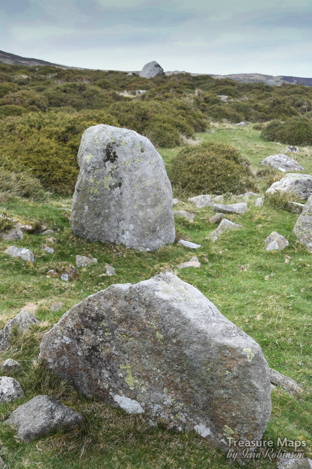
Hafod y Gors Wen, looking north, showing two of the orthostats.
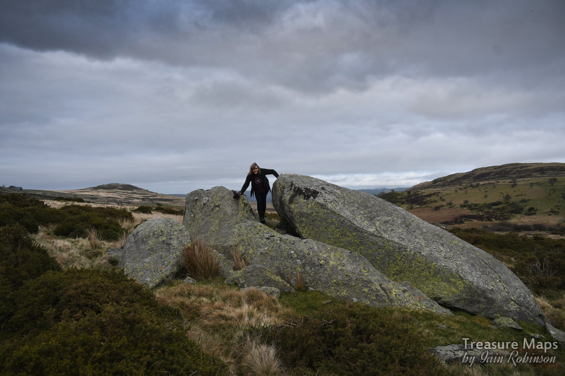
Near to the ring cairn are a couple of very impressive erratics-featuring Petra for size, and a bonus appearance of Pen y Gaer hill fort in the background.
Going further north towards Pen y Gaer, there are a group of very fine standing stones at SH72946819, along a wall at Hafod Ffrith y Bont . Coflein are a bit sceptical about them, but they do look the real deal to me- and Megalithic portal agree, which is good enough, I reckon.
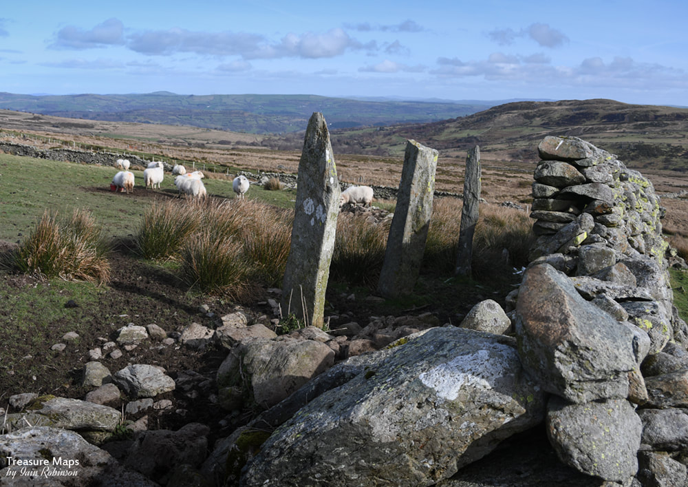
Ffrith y Bont standing stone row. There are actually four, but one has fallen. They are supposed to be aligned with Hafod Y Gors Wen, but I couldn't check that.
Here at Ffrrith y Bont, there are the remains of a couple of long houses (Coflein, here) -the whole farmstead is worthy of study, it's a fascinating place with subsistence agricultural structures built over several centuries.
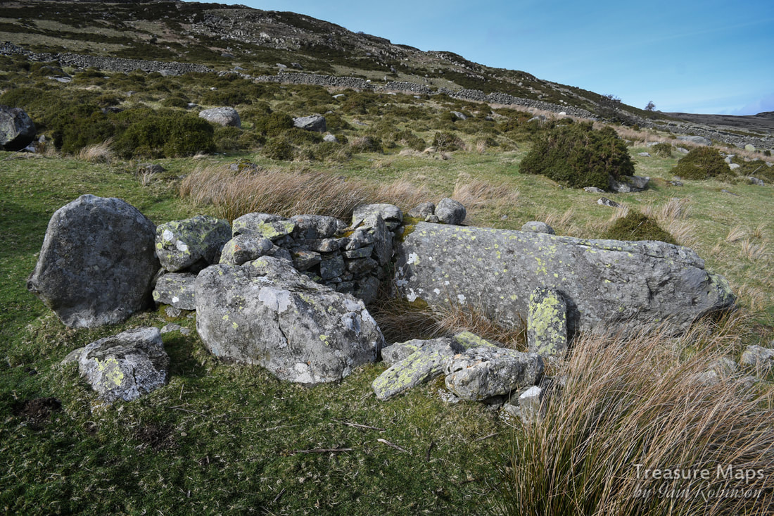
Crossing the Afon Dulyn, south of Hafod y Gors Wen, there are several old settlements thought to be bronze age or earlier. Surprisingly, the stones are still evident in the ground, perhaps because of the remote location- although this area must have been busy agriculturally from the earliest days. Hard to see why, since the land is not particularly fertile. 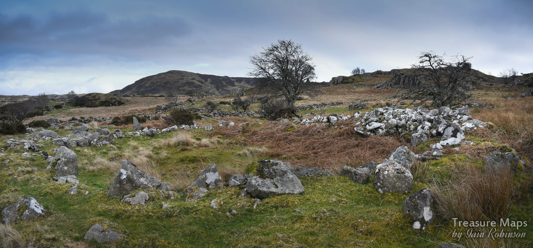
One of a number of round huts just south of the Afon Dulyn. The stones to the right are probably from field clearance.
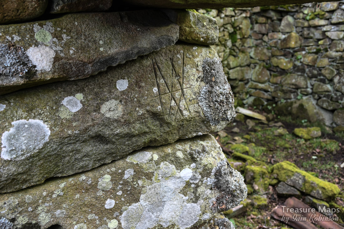
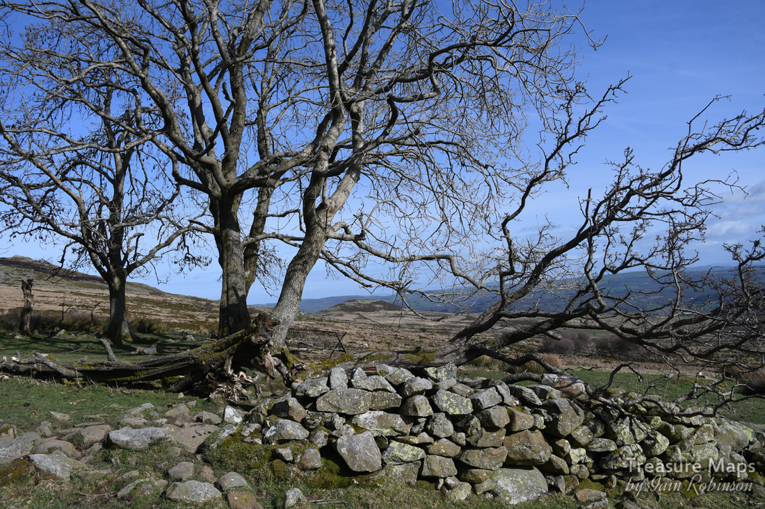
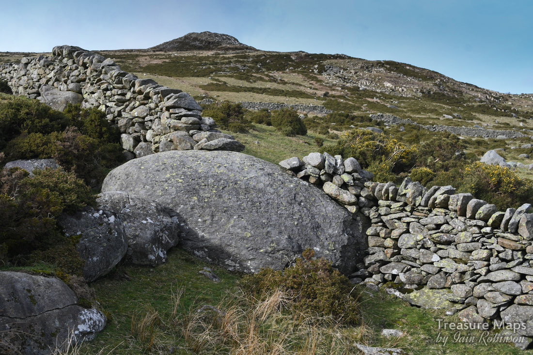
There are also ancient field boundaries and trackways across the moor here, difficult to trace except as depressions or ridges in the surface of the land. The field boundaries have been broken occasionally and it is occasionally possible to see the classic herringbone pattern of stone placement that sometimes typifies mediaeval builders. Very old sheepfolds are a feature of the landscape here- these are probably at least mediaeval in origin and incorporate some amazingly thick clearance walling. 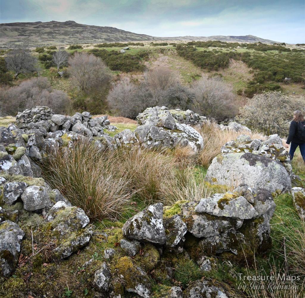
An old sheepfold with thick walls built to use up stones found in the field.
A bronze age round hut set in a bend in the river. It was very difficult to photograph clearly close up, this shot from the river cliff gives a better view.
The hut above is catalogued by Coflein as "prehistoric" (link) where it is catalogued as a hut circle.
The Hafods
Starting from the south, we come first to Maeneira. Today, this sits away from the road, but at one time was served by a trackway running below the present day road. I first glimpsed it through the branches of a wonderful Rowan tree whose roots has intertwined through some massive boulders. 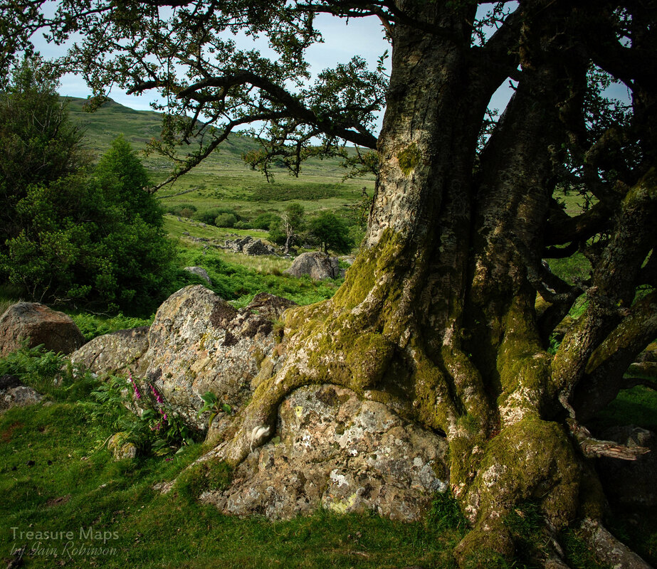
If Maeneira was a hafod, it was a well appointed one. The name, which translates roughly as "Snow stone" suggests all-year occupation. It was a fascinating ruin, with unruly trees disrupting the walls. There were barns and pig sties as well as a big kitchen range. The land, next to the river, seemed to be the best for miles around and had been clerared, with some fine old walls. Below are some images of Maeneira...
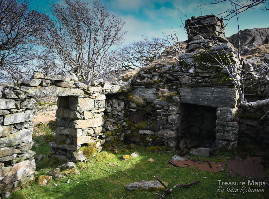
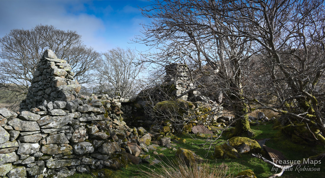
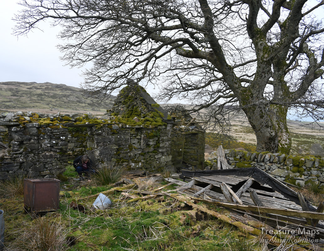
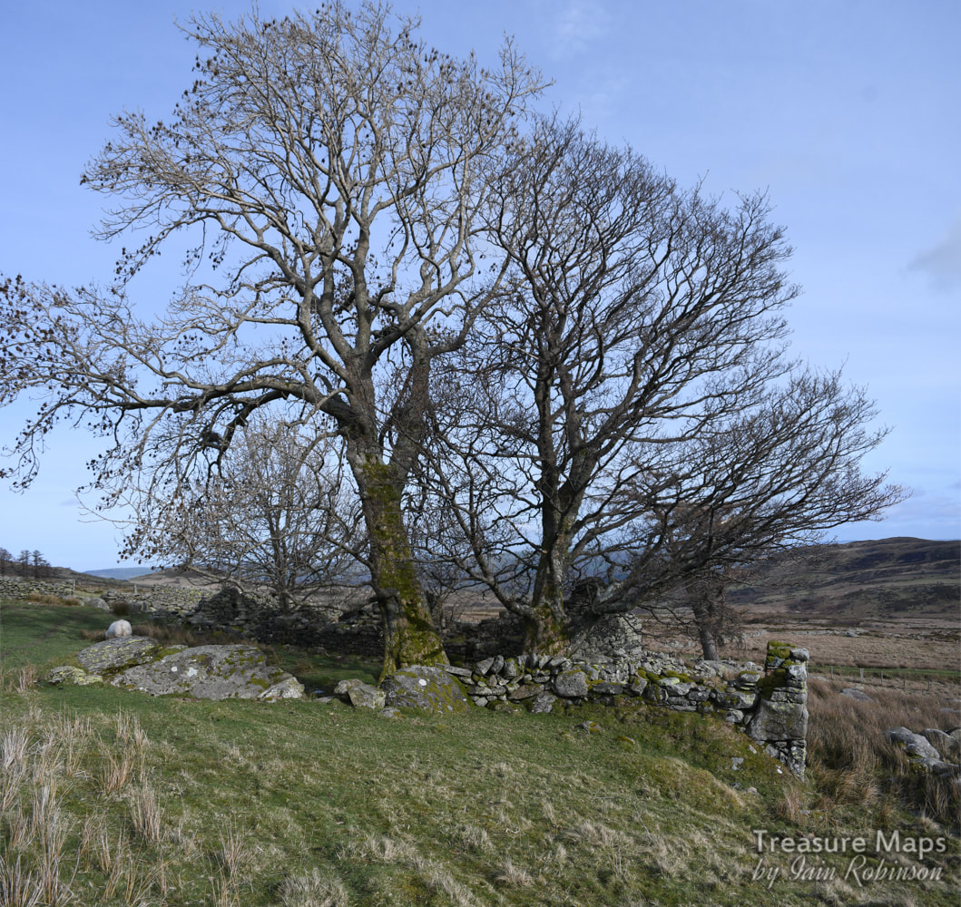
We walked east following the river and came to Hafod Fach (Little Hafod), a delightful spot surrounded by trees and nestled against a big rock outcrop. The people who settled this place certainly knew how to utilise the lie of the land- I wondered if they had built over where the prehistoric farmers had lived.
Hafod Fach
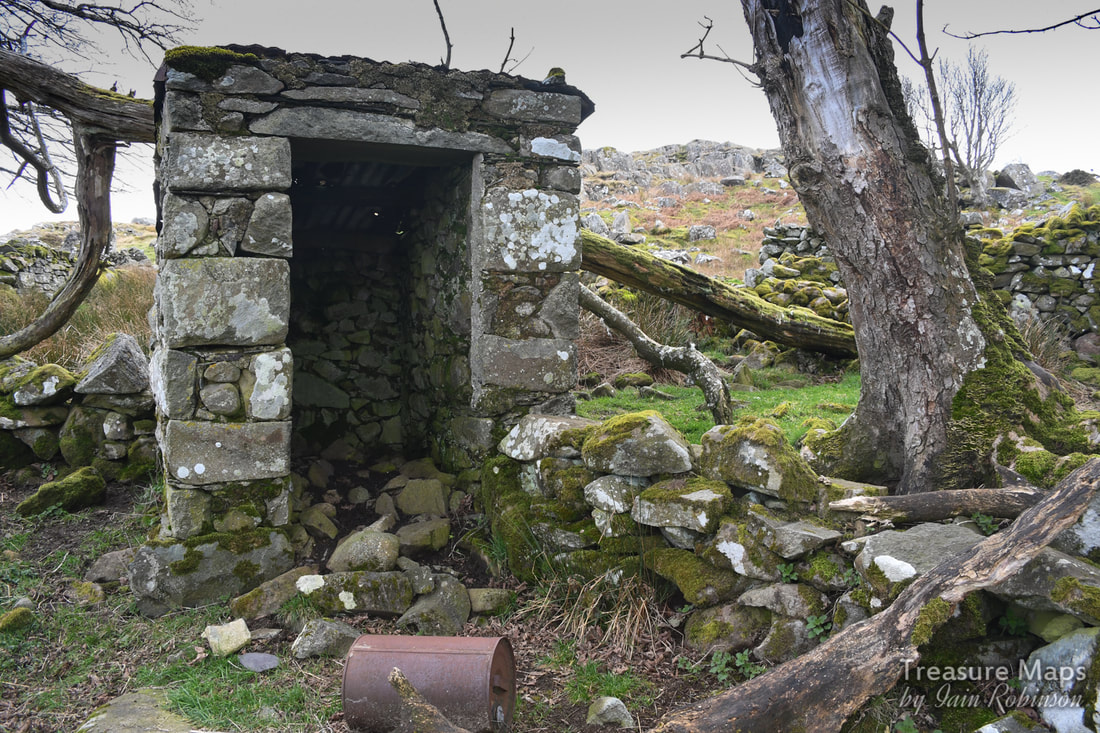
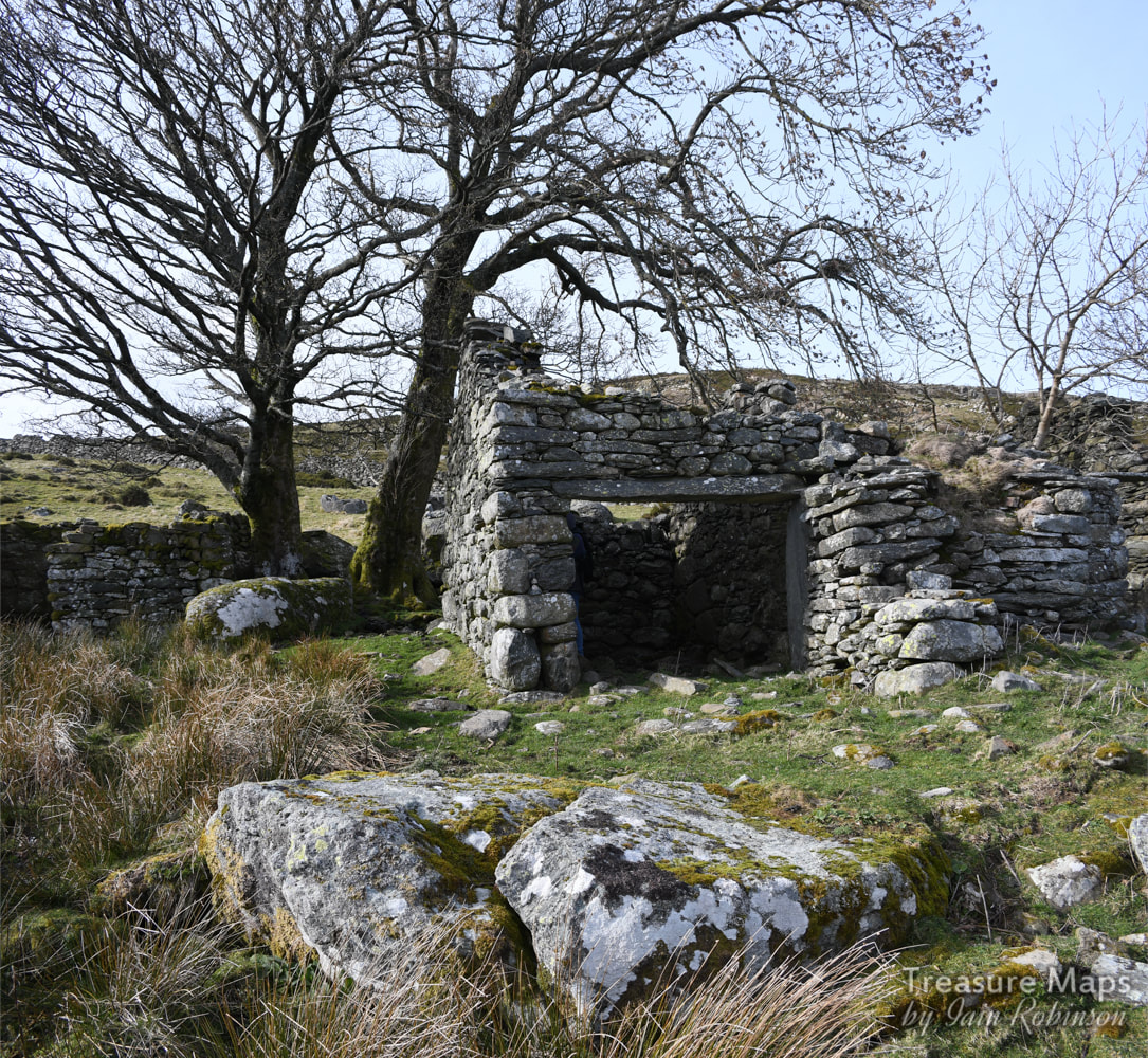
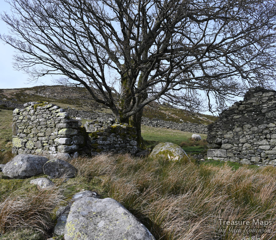
Next along the river, going eastwards, was Hafod y Garreg (Hafod of the rocks) which was a larger concern, possibly only abandoned in the nineteen sixties or seventies. There were some interesting remains and a couple of wonderful sycamore trees which probably dated from the first days of the hafod.

Hafod y Garreg
It looked as if there had been a wooden shed, possibly for poultry, next to the house. This was a substantial little farm, with an older dwelling (possibly the original one) in later use as a barn. This was impressively buttressed. I had the feeling, given that it was placed end-on to the slope, that it might have been built on the foundations of a long hut.
Some fine buttressing on the west wall of the original farm structure. It may have been a way of dealing with stone gathered from the field clearance.
North of the Afon Dulyn
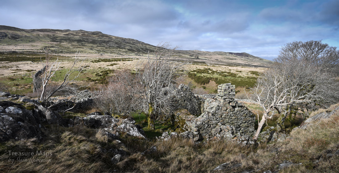
There are some farmsteads on the moor in the north side of the cwm. These are best reached by parking at the Pen y Gaer car park (SH 74375 69302) and walking along the old track. We missed the first ruin at Bwlch y Gaer, due to the presence of the farmer, who we guessed wouldn't have been too pleased to see us poking round the old place. The next ruin was a fine one, with the classic name of Tan y Bwlch (under the pass). It was a long structure, with the animal accomodation downhill from the farmhouse. 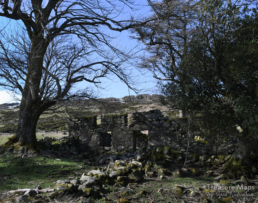
Tan y Bwlch.
The day we visited from Pen y Gaer, we kept the most fascinating place for last.
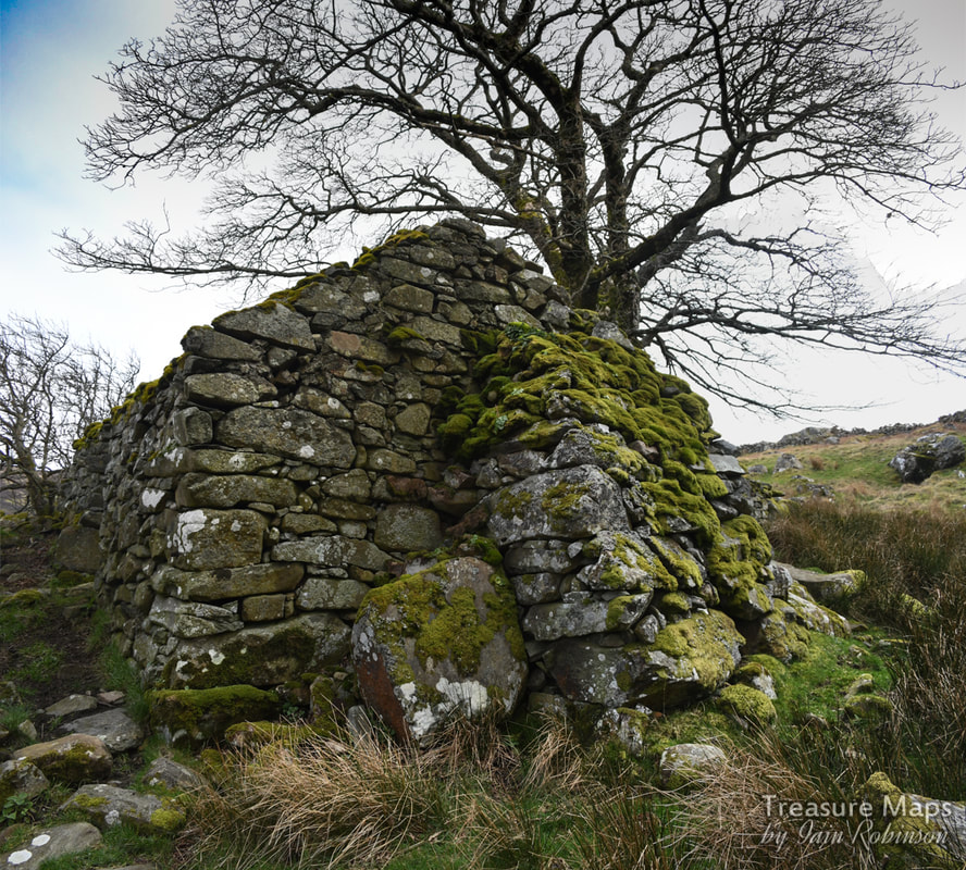
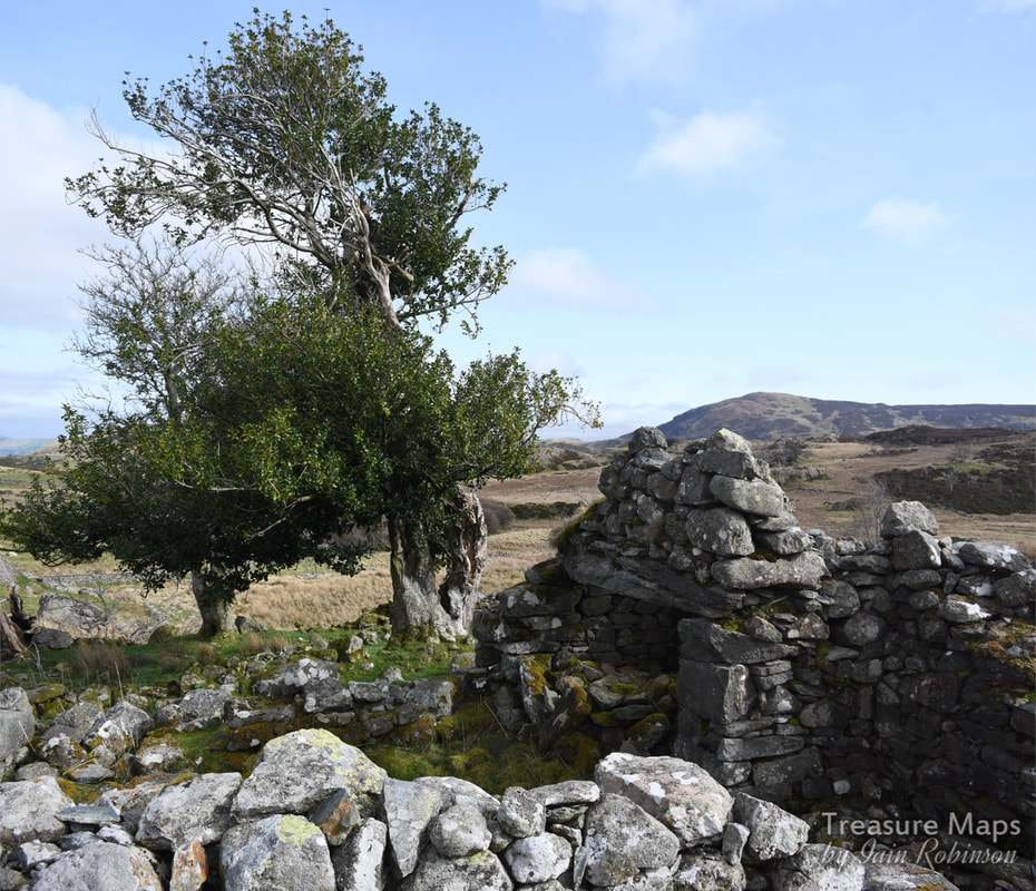
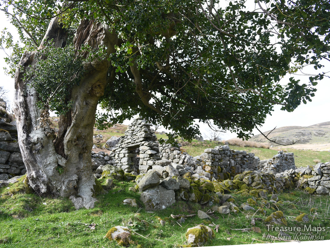
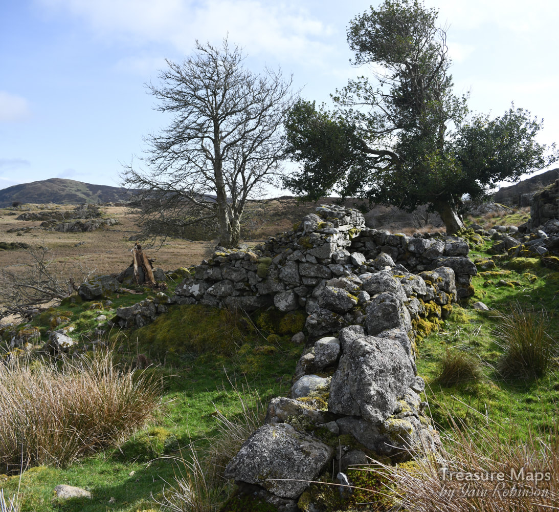
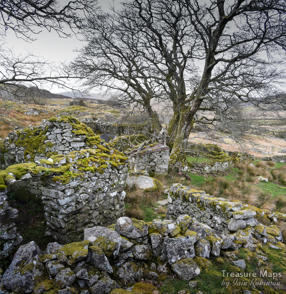
Ffrith y Bont This wonderful, rambling series of ruins and hafods is set in a landscape of giant erratics and mysterious rocks. The name means "Pasture or enclosure of the bridge", although I stand to be corrected with that one! There are several outbuildings and some strange clearance cairns, plus a stone row, covered earlier in the post. There wasn't much to glean historically apart from what there is on the Coflein map, but it did make a fascinating mooch- we came away with a feeling of respect for the farmers who put so much work into the place here. 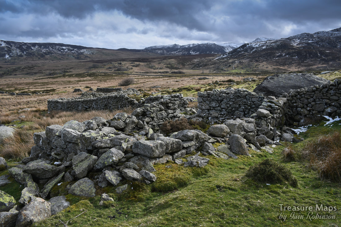
Ruins of an old barn, possibly built on a mediaeval long house, and a small hafod at the western extremity of Ffrith y Bont.
Some images of Ffrith y Bont...
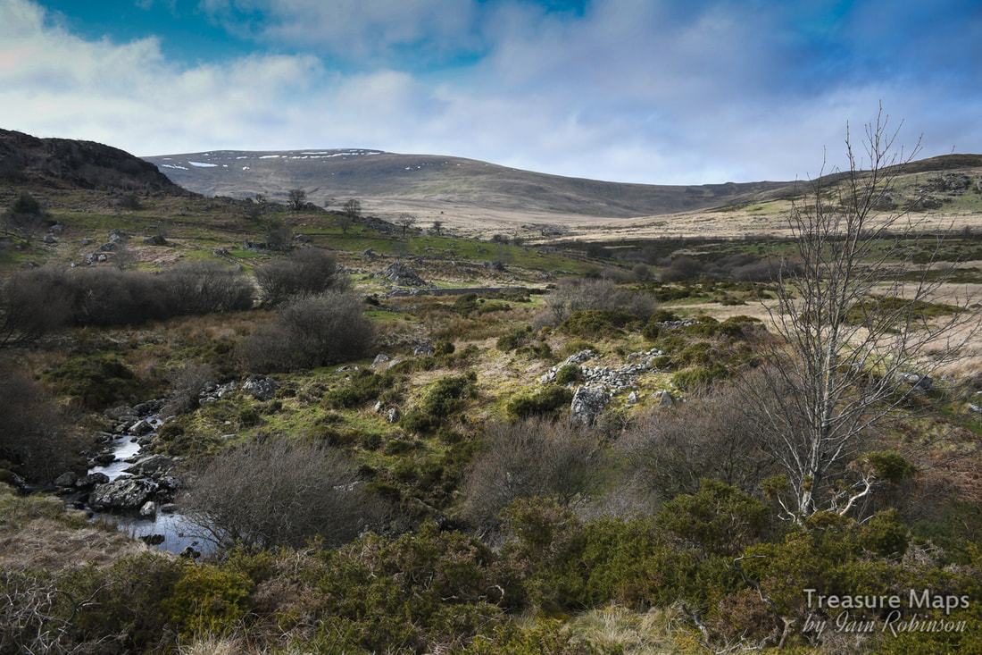
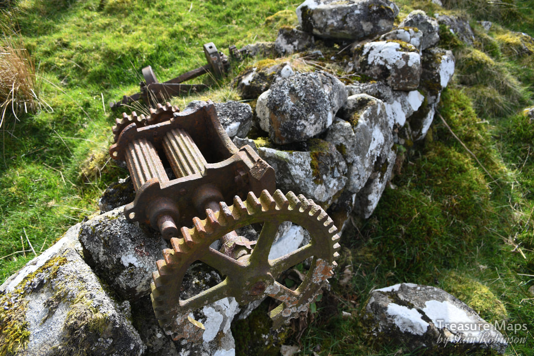
Finally, as I have been mentioning the upper reaches of the cwm, I will add some photos to whet the appetite. There are more structures to be found as you approach Llyn Dulyn, a well-defined series of prehistoric settlements, standing stones and a bothy, plus the vestigial remains of a slate mine. We didn't do too well the day we visited the upper reaches as we had come over from Llyn Melynllyn and were distracted by the wonderful wild ponies of the Carneddau. It's a part of the cwm that we will have to return to.
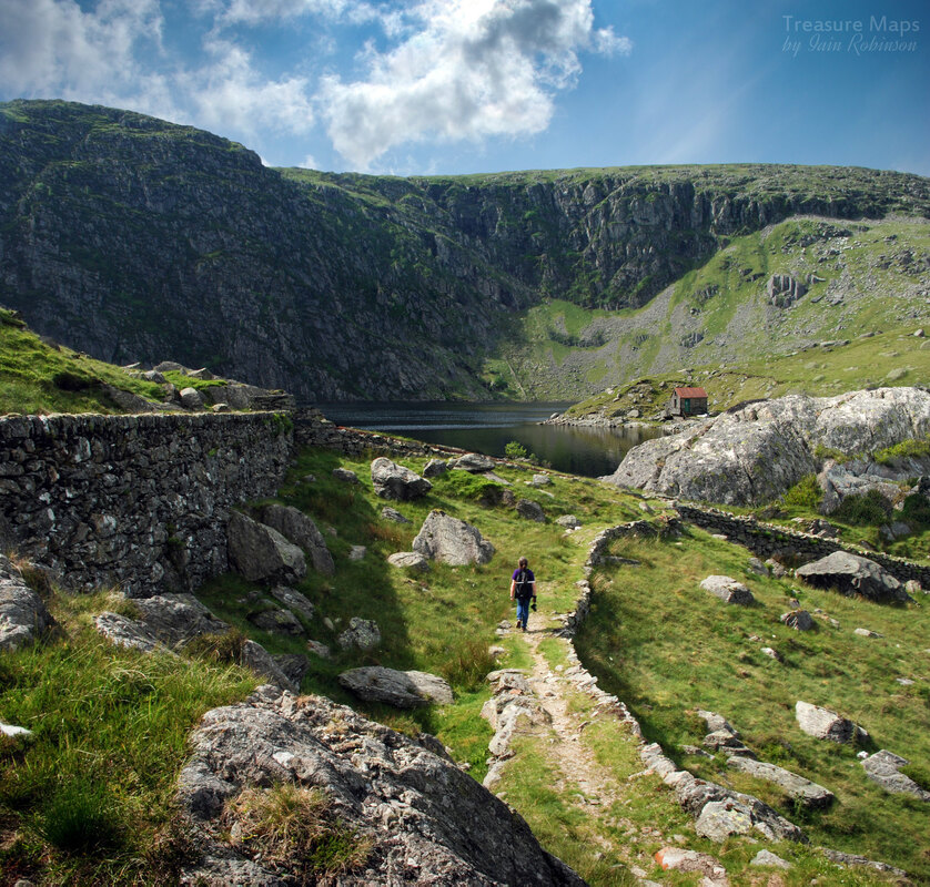
Petra makes her way along an old tramway formation- this is Llyn Dulyn, actually a man-made reservoir. It's a wonderful spot, although sadly the site of quite a few aircraft wrecks in the second world war.
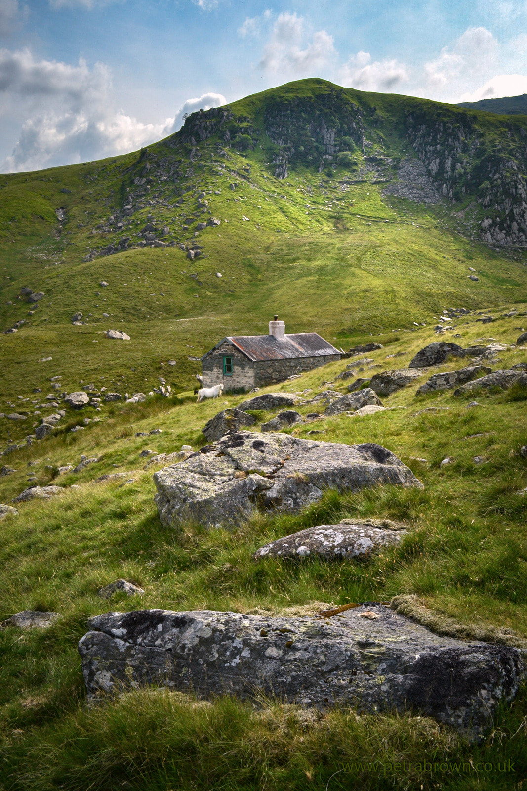
Petra's photograph of the bothy at the head of Dulyn, with the cliffs of Craig y Dulyn in the background. The trackway comes over from Melinllyn, and above that are two old levels from a slate mine.
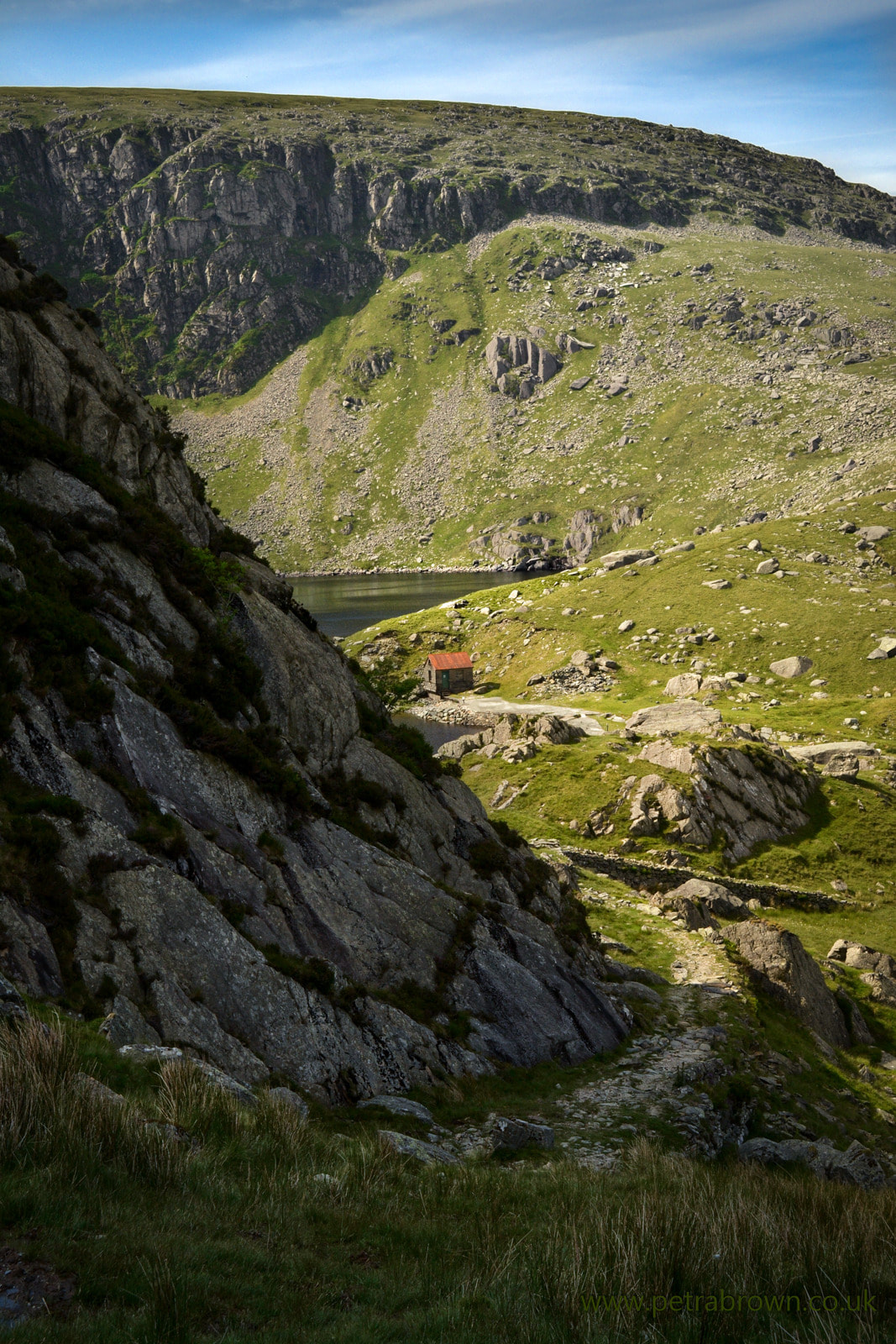
Towards Llyn Dulyn from the Melinllyn path. Petra's photo.
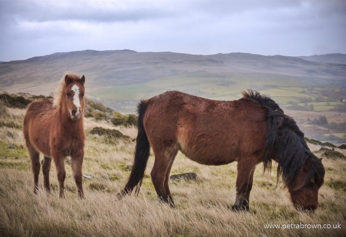
Carneddau ponies- photo by Petra.
A small film by Petra featuring the wild ponies. Keep watching at the end for bonus footage of Cwm Dulyn and the hone quarry.
0 Comments
|
TracksReceive the occasional Treasure Maps Newsletter- and alerts when a new post is available!
If you enjoy my content, please buy me a coffee!
Check out my other online activity...
Index
All
|
 RSS Feed